Maroota geodata
Maroota (New South Wales) is a section of populated place; located in Australia in Australia/Sydney (GMT+11) time zone. With population of 621 people, there are 4514 cities with bigger population in this country. Compared to other cities in Australia, 53.9% of cities are located further ↓South; 67.2% of cities are located further ←West and 74.8% of cities have lower elevation than Maroota. Note1


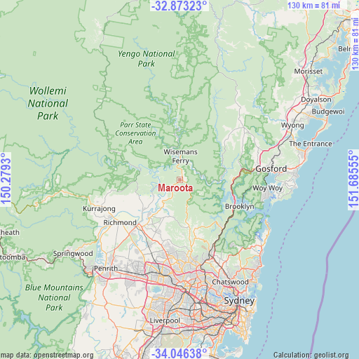
Maroota GPS coordinates[2]
33° 27' 42.444" South, 150° 58' 56.712" East
| Map corner | latitude | longitude |
|---|---|---|
| Upper-left | -32.87323°, | 150.2793° |
| Center: | -33.46179°, | 150.98242° |
| Lower-right: | -34.04638°, | 151.68555° |
| Map W x H: | 130.4×130.4 km | = 81×81mi |
| max Lat: | -10.58257° ⇑46.1% North |
| Maroota: | -33.46179° |
| min Lat: | ⇓53.9% South -43.31423° |
| min Long | Maroota | max Long |
| 113.53327° | 150.98242° | 153.61246° |
| W 67.2%⇐ | ⇒32.8% E |
Elevation
Elevation of Maroota is 129 m = 423 ft, and this is 7 m = 23 ft above average elevation for this country.
| Max E: |
1715 m = 5627 ft | 25.2% |
| Maroota | 129 m 423 ft | |
| Avg. | 122 m = 400 ft | |
Min E: |
-2 m = -7 ft | 74.8% |
See also: Australia elevation on elevation.city.
Geographical zone
Maroota is located in South temperate zone (between Tropic of Capricorn and the Antarctic Circle). Distance of this Southern Tropic circle is 1114.7 km =692.6 mi to North.| Distance of | km | miles | from Maroota |
|---|---|---|---|
| Equator | 3720.6 | 2311.9 | to North |
| Tropic Capricorn | 1114.7 | 692.6 | to North |
| Antarctic Circle | 3680.6 | 2287 | to South |
| South Pole | 6286.5 | 3906.2 | to South |


Nearby cities:
15 places around Maroota: (largest is in red/bold)
• Arcadia
17.9 km =11.1 mi,  164°
164°
• Cattai
11.3 km =7 mi,  214°
214°
• East Kurrajong
18.1 km =11.2 mi,  254°
254°
• Ebenezer
11 km =6.8 mi,  234°
234°
• Freemans Reach
20.4 km =12.7 mi,  238°
238°
• Glenorie
15.8 km =9.8 mi,  171°
171°
• Glossodia
21 km =13 mi, 246°
• Kenthurst
21.6 km =13.4 mi, 174°
• Lower Portland
9.3 km =5.8 mi,  278°
278°
• Maraylya
15.6 km =9.7 mi,  201°
201°
• Middle Dural
20.1 km =12.5 mi, 170°
• Oakville
19.6 km =12.2 mi, 209°
• Pitt Town
18.1 km =11.2 mi,  219°
219°
• South Maroota
5.3 km =3.3 mi, 206°
• Wilberforce
17.5 km =10.9 mi, 230°
Sources, notices
• [Note1] Compared only with cities in Australia existing in our database
• [Src1] Map data: © OpenStreetMap contributors (CC-BY-SA)
• [Src2] Other city data from geonames.org with taken over terms of usage.
• [Src3] Geographical zone / Annual Mean Temperature by Robert A. Rohde @ Wikipedia
