Lower Portland geodata
Lower Portland (New South Wales) is a section of populated place; located in Australia in Australia/Sydney (GMT+11) time zone. With population of 574 people, there are 4635 cities with bigger population in this country. Compared to other cities in Australia, 53.9% of cities are located further ↓South; 64.9% of cities are located further ←West and 90.1% of cities have higher elevation than Lower Portland. Note1


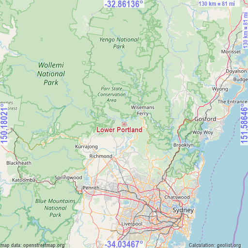
Lower Portland GPS coordinates[2]
33° 27' 0" South, 150° 52' 59.988" East
| Map corner | latitude | longitude |
|---|---|---|
| Upper-left | -32.86136°, | 150.18021° |
| Center: | -33.45°, | 150.88333° |
| Lower-right: | -34.03467°, | 151.58646° |
| Map W x H: | 130.5×130.5 km | = 81.1×81.1mi |
| max Lat: | -10.58257° ⇑46.1% North |
| Lower Portland: | -33.45° |
| min Lat: | ⇓53.9% South -43.31423° |
| min Long | Lower Portland | max Long |
| 113.53327° | 150.88333° | 153.61246° |
| W 64.9%⇐ | ⇒35.1% E |
Elevation
Elevation of Lower Portland is 9 m = 30 ft, and this is 113 m = 371 ft below average elevation for this country.
| Max E: |
1715 m = 5627 ft | 90.1% |
| Avg. | 122 m = 400 ft | |
| Lower Portland | 9 m = 30 ft | |
Min E: |
-2 m = -7 ft | 9.9% |
See also: Australia elevation on elevation.city.
Geographical zone
Lower Portland is located in South temperate zone (between Tropic of Capricorn and the Antarctic Circle). Distance of this Southern Tropic circle is 1113.4 km =691.8 mi to North.| Distance of | km | miles | from Lower Portland |
|---|---|---|---|
| Equator | 3719.3 | 2311.1 | to North |
| Tropic Capricorn | 1113.4 | 691.8 | to North |
| Antarctic Circle | 3681.9 | 2287.8 | to South |
| South Pole | 6287.8 | 3907.1 | to South |


Nearby cities:
15 places around Lower Portland: (largest is in red/bold)
• Cattai
11 km =6.8 mi,  164°
164°
• East Kurrajong
10.3 km =6.4 mi,  233°
233°
• Ebenezer
7.8 km =4.8 mi,  177°
177°
• Freemans Reach
14.5 km =9 mi,  214°
214°
• Glenorie
20.5 km =12.7 mi,  145°
145°
• Glossodia
14 km =8.7 mi, 226°
• Maraylya
16.2 km =10.1 mi,  167°
167°
• Maroota
9.3 km =5.8 mi,  98°
98°
• McGraths Hill
19 km =11.8 mi,  194°
194°
• Oakville
18.4 km =11.4 mi, 180°
• Pitt Town
15.4 km =9.6 mi, 188°
• South Maroota
9.1 km =5.7 mi,  131°
131°
• South Windsor
20.1 km =12.5 mi,  201°
201°
• Wilberforce
13.2 km =8.2 mi, 198°
• Windsor
19.2 km =11.9 mi, 199°
Sources, notices
• [Note1] Compared only with cities in Australia existing in our database
• [Src1] Map data: © OpenStreetMap contributors (CC-BY-SA)
• [Src2] Other city data from geonames.org with taken over terms of usage.
• [Src3] Geographical zone / Annual Mean Temperature by Robert A. Rohde @ Wikipedia
