Kandanga geodata
Kandanga (Queensland) is a populated place; located in Australia in Australia/Brisbane (GMT+10) time zone. With population of 664 people, there are 4398 cities with bigger population in this country. Compared to other cities in Australia, 88% of cities are located further ↓South; 85.6% of cities are located further ←West and 72.9% of cities have lower elevation than Kandanga. Note1


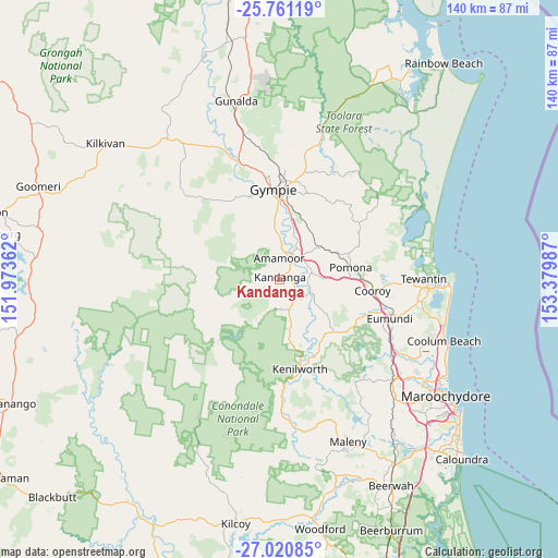
Kandanga GPS coordinates[2]
26° 23' 33.864" South, 152° 40' 36.264" East
| Map corner | latitude | longitude |
|---|---|---|
| Upper-left | -25.76119°, | 151.97362° |
| Center: | -26.39274°, | 152.67674° |
| Lower-right: | -27.02085°, | 153.37987° |
| Map W x H: | 140.1×140.1 km | = 87.1×87.1mi |
| max Lat: | -10.58257° ⇑12% North |
| Kandanga: | -26.39274° |
| min Lat: | ⇓88% South -43.31423° |
| min Long | Kandanga | max Long |
| 113.53327° | 152.67674° | 153.61246° |
| W 85.6%⇐ | ⇒14.4% E |
Elevation
Elevation of Kandanga is 117 m = 384 ft, and this is 5 m = 16 ft below average elevation for this country.
| Max E: |
1715 m = 5627 ft | 27.1% |
| Avg. | 122 m = 400 ft | |
| Kandanga | 117 m = 384 ft | |
Min E: |
-2 m = -7 ft | 72.9% |
See also: Australia elevation on elevation.city.
Geographical zone
Kandanga is located in South temperate zone (between Tropic of Capricorn and the Antarctic Circle). Distance of this Southern Tropic circle is 328.7 km =204.2 mi to North.| Distance of | km | miles | from Kandanga |
|---|---|---|---|
| Equator | 2934.6 | 1823.5 | to North |
| Tropic Capricorn | 328.7 | 204.2 | to North |
| Antarctic Circle | 4466.6 | 2775.4 | to South |
| South Pole | 7072.5 | 4394.6 | to South |


Nearby cities:
15 places around Kandanga: (largest is in red/bold)
• Amamoor
4.9 km =3 mi,  2°
2°
• Belli Park
19.3 km =12 mi,  131°
131°
• Black Mountain
19.8 km =12.3 mi,  91°
91°
• Cooran
15.8 km =9.8 mi,  66°
66°
• East Deep Creek
22.1 km =13.7 mi,  10°
10°
• Gympie
22.6 km =14 mi,  357°
357°
• Imbil
7.4 km =4.6 mi,  178°
178°
• Jones Hill
18.2 km =11.3 mi, 357°
• Monkland
20.1 km =12.5 mi, 1°
• Mothar Mountain
18.6 km =11.6 mi,  31°
31°
• Pie Creek
19.4 km =12.1 mi,  339°
339°
• Pomona
18.1 km =11.2 mi,  80°
80°
• Southside
20.5 km =12.7 mi,  351°
351°
• The Dawn
16.8 km =10.4 mi, 0°
• The Palms
22.7 km =14.1 mi, 336°
Sources, notices
• [Note1] Compared only with cities in Australia existing in our database
• [Src1] Map data: © OpenStreetMap contributors (CC-BY-SA)
• [Src2] Other city data from geonames.org with taken over terms of usage.
• [Src3] Geographical zone / Annual Mean Temperature by Robert A. Rohde @ Wikipedia
