Cooma geodata
Cooma (New South Wales) is a populated place; located in Australia in Australia/Sydney (GMT+11) time zone. With population of 6,555 people, there are 1061 cities with bigger population in this country. Compared to other cities in Australia, 79.2% of cities are located further ↑North; 54.4% of cities are located further ←West and 99% of cities have lower elevation than Cooma. Note1


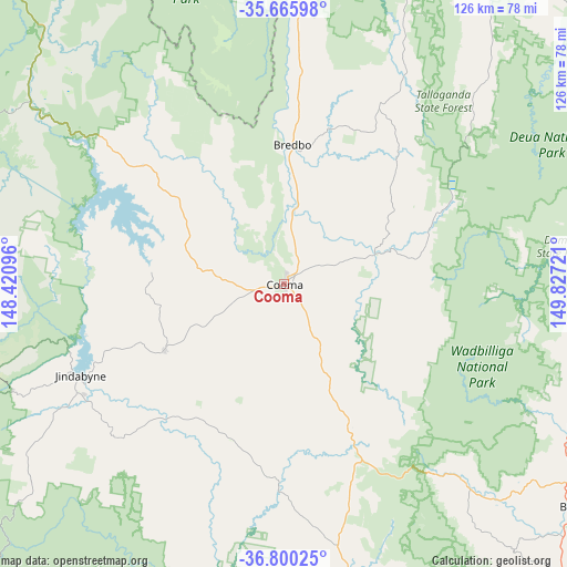
Cooma GPS coordinates[2]
36° 14' 6.612" South, 149° 7' 26.688" East
| Map corner | latitude | longitude |
|---|---|---|
| Upper-left | -35.66598°, | 148.42096° |
| Center: | -36.23517°, | 149.12408° |
| Lower-right: | -36.80025°, | 149.82721° |
| Map W x H: | 126.1×126.1 km | = 78.4×78.4mi |
| max Lat: | -10.58257° ⇑79.2% North |
| Cooma: | -36.23517° |
| min Lat: | ⇓20.8% South -43.31423° |
| min Long | Cooma | max Long |
| 113.53327° | 149.12408° | 153.61246° |
| W 54.4%⇐ | ⇒45.6% E |
Elevation
Elevation of Cooma is 796 m = 2612 ft, and this is 674 m = 2211 ft above average elevation for this country.
| Max E: |
1715 m = 5627 ft | 1% |
| Cooma | 796 m 2612 ft | |
| Avg. | 122 m = 400 ft | |
Min E: |
-2 m = -7 ft | 99% |
See also: Australia elevation on elevation.city.
Geographical zone
Cooma is located in South temperate zone (between Tropic of Capricorn and the Antarctic Circle). Distance of this Southern Tropic circle is 1423.1 km =884.3 mi to North.| Distance of | km | miles | from Cooma |
|---|---|---|---|
| Equator | 4029 | 2503.5 | to North |
| Tropic Capricorn | 1423.1 | 884.3 | to North |
| Antarctic Circle | 3372.2 | 2095.4 | to South |
| South Pole | 5978.1 | 3714.6 | to South |


Nearby cities:
15 places around Cooma: (largest is in red/bold)
• Bega
80.6 km =50.1 mi,  127°
127°
• Bemboka
59.3 km =36.8 mi,  137°
137°
• Berridale
30.3 km =18.8 mi,  241°
241°
• Bombala
75.9 km =47.2 mi,  172°
172°
• Burra
75.7 km =47 mi,  6°
6°
• Candelo
78.1 km =48.5 mi, 139°
• Captains Flat
77.2 km =48 mi,  21°
21°
• Cobargo
70.4 km =43.7 mi,  103°
103°
• Crackenback
60.5 km =37.6 mi,  247°
247°
• East Jindabyne
46 km =28.6 mi, 247°
• Jindabyne
49.3 km =30.6 mi, 245°
• Kosciuszko National Park
57.7 km =35.9 mi,  266°
266°
• Michelago
57.8 km =35.9 mi,  3°
3°
• Moonbah
58.2 km =36.2 mi, 241°
• Royalla
79.9 km =49.6 mi, 1°
Sources, notices
• [Note1] Compared only with cities in Australia existing in our database
• [Src1] Map data: © OpenStreetMap contributors (CC-BY-SA)
• [Src2] Other city data from geonames.org with taken over terms of usage.
• [Src3] Geographical zone / Annual Mean Temperature by Robert A. Rohde @ Wikipedia
