Jindabyne geodata
Jindabyne (New South Wales) is a populated place; located in Australia in Australia/Sydney (GMT+11) time zone. With population of 6,547 people, there are 1064 cities with bigger population in this country. Compared to other cities in Australia, 79.8% of cities are located further ↑North; 51.9% of cities are located further ←West and 99.4% of cities have lower elevation than Jindabyne. Note1


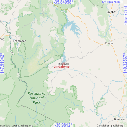
Jindabyne GPS coordinates[2]
36° 25' 2.82" South, 148° 37' 21.144" East
| Map corner | latitude | longitude |
|---|---|---|
| Upper-left | -35.84958°, | 147.91942° |
| Center: | -36.41745°, | 148.62254° |
| Lower-right: | -36.9812°, | 149.32567° |
| Map W x H: | 125.8×125.8 km | = 78.2×78.2mi |
| max Lat: | -10.58257° ⇑79.8% North |
| Jindabyne: | -36.41745° |
| min Lat: | ⇓20.2% South -43.31423° |
| min Long | Jindabyne | max Long |
| 113.53327° | 148.62254° | 153.61246° |
| W 51.9%⇐ | ⇒48.1% E |
Elevation
Elevation of Jindabyne is 940 m = 3084 ft, and this is 818 m = 2684 ft above average elevation for this country.
| Max E: |
1715 m = 5627 ft | 0.59999999999999% |
| Jindabyne | 940 m 3084 ft | |
| Avg. | 122 m = 400 ft | |
Min E: |
-2 m = -7 ft | 99.4% |
See also: Australia elevation on elevation.city.
Geographical zone
Jindabyne is located in South temperate zone (between Tropic of Capricorn and the Antarctic Circle). Distance of this Southern Tropic circle is 1443.3 km =896.8 mi to North.| Distance of | km | miles | from Jindabyne |
|---|---|---|---|
| Equator | 4049.2 | 2516.1 | to North |
| Tropic Capricorn | 1443.3 | 896.8 | to North |
| Antarctic Circle | 3351.9 | 2082.8 | to South |
| South Pole | 5957.8 | 3702 | to South |


Nearby cities:
15 places around Jindabyne: (largest is in red/bold)
• Batlow
108.6 km =67.5 mi,  336°
336°
• Bemboka
88 km =54.7 mi,  105°
105°
• Berridale
19.2 km =11.9 mi,  72°
72°
• Bombala
77.6 km =48.2 mi,  135°
135°
• Burra
109.7 km =68.2 mi,  29°
29°
• Candelo
103.3 km =64.2 mi, 112°
• Cooma
49.3 km =30.6 mi, 65°
• Corryong
69 km =42.9 mi,  290°
290°
• Crackenback
11.3 km =7 mi,  255°
255°
• East Jindabyne
3.5 km =2.2 mi,  46°
46°
• Kosciuszko National Park
21.2 km =13.2 mi,  323°
323°
• Michelago
92 km =57.2 mi, 32°
• Moonbah
9.6 km =6 mi,  221°
221°
• Royalla
110.8 km =68.8 mi, 25°
• Tumbarumba
89.8 km =55.8 mi, 322°
Sources, notices
• [Note1] Compared only with cities in Australia existing in our database
• [Src1] Map data: © OpenStreetMap contributors (CC-BY-SA)
• [Src2] Other city data from geonames.org with taken over terms of usage.
• [Src3] Geographical zone / Annual Mean Temperature by Robert A. Rohde @ Wikipedia
