Moonbah geodata
Moonbah (New South Wales) is a populated place; located in Australia in Australia/Sydney (GMT+11) time zone. With population of 603 people, there are 4557 cities with bigger population in this country. Compared to other cities in Australia, 80% of cities are located further ↑North; 51.8% of cities are located further ←West and 99.7% of cities have lower elevation than Moonbah. Note1


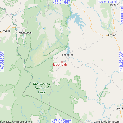
Moonbah GPS coordinates[2]
36° 28' 54.48" South, 148° 33' 4.32" East
| Map corner | latitude | longitude |
|---|---|---|
| Upper-left | -35.9144°, | 147.84808° |
| Center: | -36.4818°, | 148.5512° |
| Lower-right: | -37.04508°, | 149.25433° |
| Map W x H: | 125.7×125.7 km | = 78.1×78.1mi |
| max Lat: | -10.58257° ⇑80% North |
| Moonbah: | -36.4818° |
| min Lat: | ⇓20% South -43.31423° |
| min Long | Moonbah | max Long |
| 113.53327° | 148.5512° | 153.61246° |
| W 51.8%⇐ | ⇒48.2% E |
Elevation
Elevation of Moonbah is 1011 m = 3317 ft, and this is 889 m = 2917 ft above average elevation for this country.
| Max E: |
1715 m = 5627 ft | 0.3% |
| Moonbah | 1011 m 3317 ft | |
| Avg. | 122 m = 400 ft | |
Min E: |
-2 m = -7 ft | 99.7% |
See also: Australia elevation on elevation.city.
Geographical zone
Moonbah is located in South temperate zone (between Tropic of Capricorn and the Antarctic Circle). Distance of this Southern Tropic circle is 1450.5 km =901.3 mi to North.| Distance of | km | miles | from Moonbah |
|---|---|---|---|
| Equator | 4056.4 | 2520.5 | to North |
| Tropic Capricorn | 1450.5 | 901.3 | to North |
| Antarctic Circle | 3344.8 | 2078.4 | to South |
| South Pole | 5950.7 | 3697.6 | to South |


Nearby cities:
15 places around Moonbah: (largest is in red/bold)
• Batlow
113 km =70.2 mi,  341°
341°
• Bega
117.2 km =72.8 mi,  100°
100°
• Bemboka
92.6 km =57.5 mi, 100°
• Berridale
27.9 km =17.3 mi,  62°
62°
• Bombala
77.6 km =48.2 mi,  128°
128°
• Burra
119.1 km =74 mi,  30°
30°
• Candelo
106.9 km =66.4 mi,  107°
107°
• Cooma
58.2 km =36.2 mi, 61°
• Corryong
66.2 km =41.1 mi,  298°
298°
• Crackenback
6.3 km =3.9 mi,  313°
313°
• East Jindabyne
13.1 km =8.1 mi,  43°
43°
• Jindabyne
9.6 km =6 mi, 41°
• Kosciuszko National Park
25 km =15.5 mi,  345°
345°
• Michelago
101.5 km =63.1 mi, 33°
• Tumbarumba
92 km =57.2 mi,  328°
328°
Sources, notices
• [Note1] Compared only with cities in Australia existing in our database
• [Src1] Map data: © OpenStreetMap contributors (CC-BY-SA)
• [Src2] Other city data from geonames.org with taken over terms of usage.
• [Src3] Geographical zone / Annual Mean Temperature by Robert A. Rohde @ Wikipedia
