Athelstone geodata
Athelstone (South Australia) is a populated place; located in Australia in Australia/Adelaide (GMT+10.5) time zone. With population of 8,992 people, there are 702 cities with bigger population in this country. Compared to other cities in Australia, 67.2% of cities are located further ↑North; 78.2% of cities are located further →East and 71.1% of cities have lower elevation than Athelstone. Note1


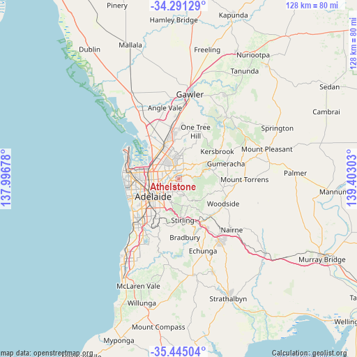
Athelstone GPS coordinates[2]
34° 52' 12.684" South, 138° 41' 59.64" East
| Map corner | latitude | longitude |
|---|---|---|
| Upper-left | -34.29129°, | 137.99678° |
| Center: | -34.87019°, | 138.6999° |
| Lower-right: | -35.44504°, | 139.40303° |
| Map W x H: | 128.3×128.3 km | = 79.7×79.7mi |
| max Lat: | -10.58257° ⇑67.2% North |
| Athelstone: | -34.87019° |
| min Lat: | ⇓32.8% South -43.31423° |
| min Long | Athelstone | max Long |
| 113.53327° | 138.6999° | 153.61246° |
| W 21.8%⇐ | ⇒78.2% E |
Elevation
Elevation of Athelstone is 109 m = 358 ft, and this is 13 m = 43 ft below average elevation for this country.
| Max E: |
1715 m = 5627 ft | 28.9% |
| Avg. | 122 m = 400 ft | |
| Athelstone | 109 m = 358 ft | |
Min E: |
-2 m = -7 ft | 71.1% |
See also: Australia elevation on elevation.city.
Geographical zone
Athelstone is located in South temperate zone (between Tropic of Capricorn and the Antarctic Circle). Distance of this Southern Tropic circle is 1271.3 km =789.9 mi to North.| Distance of | km | miles | from Athelstone |
|---|---|---|---|
| Equator | 3877.2 | 2409.2 | to North |
| Tropic Capricorn | 1271.3 | 789.9 | to North |
| Antarctic Circle | 3524 | 2189.7 | to South |
| South Pole | 6129.9 | 3808.9 | to South |


Nearby cities:
15 places around Athelstone: (largest is in red/bold)
• Adelaide Hills
4.6 km =2.9 mi,  171°
171°
• Campbelltown
3.4 km =2.1 mi,  244°
244°
• Dernancourt
2.3 km =1.4 mi,  293°
293°
• Hectorville
4.4 km =2.7 mi, 237°
• Highbury
1.9 km =1.2 mi,  353°
353°
• Holden Hill
3.3 km =2.1 mi,  309°
309°
• Hope Valley
4.1 km =2.5 mi,  0°
0°
• Modbury
4.4 km =2.7 mi,  339°
339°
• Newton
2.1 km =1.3 mi,  230°
230°
• Paradise
2.8 km =1.7 mi,  262°
262°
• Rostrevor
2.7 km =1.7 mi,  195°
195°
• St Agnes
4.5 km =2.8 mi,  12°
12°
• Teringie
4.9 km =3 mi,  177°
177°
• Vista
4.4 km =2.7 mi,  28°
28°
• Woodforde
4 km =2.5 mi,  193°
193°
Sources, notices
• [Note1] Compared only with cities in Australia existing in our database
• [Src1] Map data: © OpenStreetMap contributors (CC-BY-SA)
• [Src2] Other city data from geonames.org with taken over terms of usage.
• [Src3] Geographical zone / Annual Mean Temperature by Robert A. Rohde @ Wikipedia
