Wadeye geodata
Wadeye (Northern Territory) is a populated place; located in Australia in Australia/Darwin (GMT+9.5) time zone. With population of 2,288 people, there are 2701 cities with bigger population in this country. Compared to other cities in Australia, 98.2% of cities are located further ↓South; 88.5% of cities are located further →East and 72.3% of cities have higher elevation than Wadeye. Note1


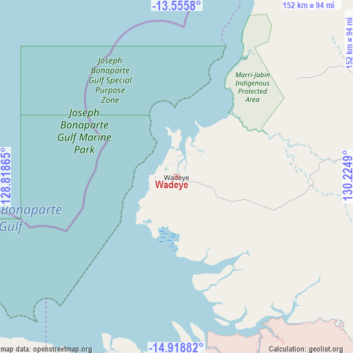
Wadeye GPS coordinates[2]
14° 14' 18.024" South, 129° 31' 18.372" East
| Map corner | latitude | longitude |
|---|---|---|
| Upper-left | -13.5558°, | 128.81865° |
| Center: | -14.23834°, | 129.52177° |
| Lower-right: | -14.91882°, | 130.2249° |
| Map W x H: | 151.6×151.6 km | = 94.2×94.2mi |
| max Lat: | -10.58257° ⇑1.8% North |
| Wadeye: | -14.23834° |
| min Lat: | ⇓98.2% South -43.31423° |
| min Long | Wadeye | max Long |
| 113.53327° | 129.52177° | 153.61246° |
| W 11.5%⇐ | ⇒88.5% E |
Elevation
Elevation of Wadeye is 21 m = 69 ft, and this is 101 m = 331 ft below average elevation for this country.
| Max E: |
1715 m = 5627 ft | 72.3% |
| Avg. | 122 m = 400 ft | |
| Wadeye | 21 m = 69 ft | |
Min E: |
-2 m = -7 ft | 27.7% |
See also: Australia elevation on elevation.city.
Geographical zone
Wadeye is located in South Torrid zone (between Equator and Tropic of Capricorn). Distance of this Southern Tropic circle is 1022.8 km =635.5 mi to South.| Distance of | km | miles | from Wadeye |
|---|---|---|---|
| Equator | 1583.2 | 983.8 | to North |
| Tropic Capricorn | 1022.8 | 635.5 | to South |
| Antarctic Circle | 5818 | 3615.1 | to South |
| South Pole | 8423.9 | 5234.4 | to South |


Nearby cities:
15 places around Wadeye: (largest is in red/bold)
• Acacia Hills
236.3 km =146.8 mi,  47°
47°
• Batchelor
209.8 km =130.4 mi, 50°
• Berry Springs
235.1 km =146.1 mi,  43°
43°
• Darwin
243.8 km =151.5 mi, 35°
• Darwin River
222.3 km =138.1 mi, 44°
• Douglas-Daly
203.3 km =126.3 mi,  76°
76°
• Kununurra
190.6 km =118.4 mi,  206°
206°
• Lake Argyle
225.1 km =139.9 mi,  201°
201°
• Larrakeyah
243.7 km =151.4 mi, 35°
• Parap
246.6 km =153.2 mi, 35°
• Stuart Park
245 km =152.2 mi, 35°
• The Gardens
244.6 km =152 mi, 35°
• Wickham
240.9 km =149.7 mi, 38°
• Woolner
246.3 km =153 mi, 35°
• Wyndham
204.5 km =127.1 mi,  227°
227°
Sources, notices
• [Note1] Compared only with cities in Australia existing in our database
• [Src1] Map data: © OpenStreetMap contributors (CC-BY-SA)
• [Src2] Other city data from geonames.org with taken over terms of usage.
• [Src3] Geographical zone / Annual Mean Temperature by Robert A. Rohde @ Wikipedia
