Libin geodata
Libin (Wallonia) is a populated place; located in Belgium in Europe/Brussels (GMT+2) time zone. With population of 4,609 people, there are 466 cities with bigger population in this country. Compared to other cities in Belgium, 95.5% of cities are located further ↑North; 75.5% of cities are located further ←West and 96.8% of cities have lower elevation than Libin. Note1
Administrative division(s):
- Level 1: Wallonia
- Level 2: Province du Luxembourg
- Level 3: Arrondissement de Neufchâteau
- Level 4: Libin


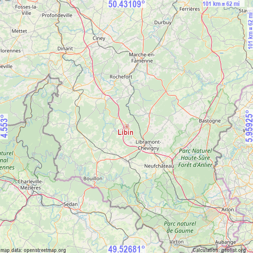
Libin GPS coordinates[2]
49° 58' 51.852" North, 5° 15' 22.032" East
| Map corner | latitude | longitude |
|---|---|---|
| Upper-left | 50.43109°, | 4.553° |
| Center: | 49.98107°, | 5.25612° |
| Lower-right: | 49.52681°, | 5.95925° |
| Map W x H: | 100.5×100.5 km | = 62.4×62.4mi |
| max Lat: | 51.46791° ⇑95.5% North |
| Libin: | 49.98107° |
| min Lat: | ⇓4.5% South 49.53771° |
| min Long | Libin | max Long |
| 2.59368° | 5.25612° | 6.25749° |
| W 75.5%⇐ | ⇒24.5% E |
Elevation
Elevation of Libin is 401 m = 1316 ft, and this is 301.5 m = 989 ft above average elevation for this country.
| Max E: |
582 m = 1909 ft | 3.2% |
| Libin | 401 m 1316 ft | |
| Avg. | 99.5 m = 326 ft | |
Min E: |
1 m = 3 ft | 96.8% |
See also: Belgium elevation on elevation.city.
Geographical zone
Libin is located in North temperate zone (between Tropic of Cancer and the Arctic Circle). Distance of this North polar circle is 1843.8 km =1145.7 mi to North.| Distance of | km | miles | from Libin |
|---|---|---|---|
| North Pole | 4449.7 | 2764.9 | to North |
| Arctic Circle | 1843.8 | 1145.7 | to North |
| Tropic Cancer | 2951.5 | 1834 | to South |
| Equator | 5557.4 | 3453.2 | to South |


Nearby cities:
15 places around Libin: (largest is in red/bold)
• Bertrix
13.9 km =8.6 mi,  180°
180°
• Bièvre
17.8 km =11.1 mi,  255°
255°
• Daverdisse
10.8 km =6.7 mi,  294°
294°
• Gedinne
22.8 km =14.2 mi,  269°
269°
• Herbeumont
22.3 km =13.9 mi, 183°
• Nassogne
17.5 km =10.9 mi,  20°
20°
• Neufchâteau
20.2 km =12.6 mi,  140°
140°
• Paliseul
12.2 km =7.6 mi,  225°
225°
• Rochefort
20.4 km =12.7 mi,  353°
353°
• Saint-Hubert
9.8 km =6.1 mi,  58°
58°
• Sainte-Ode
19.2 km =11.9 mi,  77°
77°
• Tellin
11.4 km =7.1 mi, 345°
• Tenneville
23.2 km =14.4 mi, 56°
• Vaux-sur-Sûre
24.3 km =15.1 mi,  108°
108°
• Wellin
15.1 km =9.4 mi,  317°
317°
Sources, notices
• [Note1] Compared only with cities in Belgium existing in our database
• [Src1] Map data: © OpenStreetMap contributors (CC-BY-SA)
• [Src2] Other city data from geonames.org with taken over terms of usage.
• [Src3] Geographical zone / Annual Mean Temperature by Robert A. Rohde @ Wikipedia
