Satovcha geodata
Satovcha (Blagoevgrad) is a populated place; located in Bulgaria in Europe/Sofia (GMT+3) time zone. With population of 2,382 people, there are 217 cities with bigger population in this country. Compared to other cities in Bulgaria, 94.7% of cities are located further ↑North; 72.7% of cities are located further →East and 97% of cities have lower elevation than Satovcha. Note1


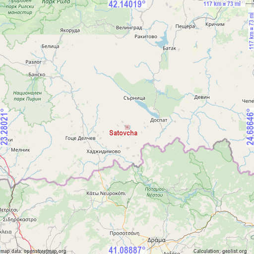
Satovcha GPS coordinates[2]
41° 37' 0.012" North, 23° 58' 59.988" East
| Map corner | latitude | longitude |
|---|---|---|
| Upper-left | 42.14019°, | 23.28021° |
| Center: | 41.61667°, | 23.98333° |
| Lower-right: | 41.08887°, | 24.68646° |
| Map W x H: | 116.9×116.9 km | = 72.6×72.6mi |
| max Lat: | 44.16214° ⇑94.7% North |
| Satovcha: | 41.61667° |
| min Lat: | ⇓5.3% South 41.32715° |
| min Long | Satovcha | max Long |
| 22.52139° | 23.98333° | 28.53429° |
| W 27.3%⇐ | ⇒72.7% E |
Elevation
Elevation of Satovcha is 994 m = 3261 ft, and this is 677.4 m = 2222 ft above average elevation for this country.
| Max E: |
1221 m = 4006 ft | 3% |
| Satovcha | 994 m 3261 ft | |
| Avg. | 316.6 m = 1039 ft | |
Min E: |
1 m = 3 ft | 97% |
See also: Bulgaria elevation on elevation.city.
Geographical zone
Satovcha is located in North temperate zone (between Tropic of Cancer and the Arctic Circle). Distance of this Northern Tropic circle is 2021.4 km =1256 mi to South.| Distance of | km | miles | from Satovcha |
|---|---|---|---|
| North Pole | 5379.7 | 3342.8 | to North |
| Arctic Circle | 2773.8 | 1723.6 | to North |
| Tropic Cancer | 2021.4 | 1256 | to South |
| Equator | 4627.3 | 2875.3 | to South |


Nearby cities:
15 places around Satovcha: (largest is in red/bold)
• Bansko
47.9 km =29.8 mi,  300°
300°
• Batak
41.1 km =25.5 mi,  28°
28°
• Belitsa
50.9 km =31.6 mi,  318°
318°
• Borino
26.8 km =16.7 mi,  73°
73°
• Devin
37.4 km =23.2 mi, 67°
• Dospat
14.9 km =9.3 mi,  77°
77°
• Garmen
14 km =8.7 mi,  262°
262°
• Gotse Delchev
21.5 km =13.4 mi, 255°
• Gyovren
33 km =20.5 mi, 80°
• Hadzhidimovo
14.2 km =8.8 mi,  222°
222°
• Rakitovo
42.4 km =26.3 mi,  11°
11°
• Razlog
52.3 km =32.5 mi, 304°
• Sarnitsa
14 km =8.7 mi, 14°
• Velingrad
45.7 km =28.4 mi,  0°
0°
• Yakoruda
51.8 km =32.2 mi,  331°
331°
Sources, notices
• [Note1] Compared only with cities in Bulgaria existing in our database
• [Src1] Map data: © OpenStreetMap contributors (CC-BY-SA)
• [Src2] Other city data from geonames.org with taken over terms of usage.
• [Src3] Geographical zone / Annual Mean Temperature by Robert A. Rohde @ Wikipedia
