Dogbo geodata
Dogbo (Kouffo) is a seat of a first-order administrative division; located in Benin in Africa/Porto-Novo (GMT+1) time zone. With population of 41,312 people, there are 13 cities with bigger population in this country. Compared to other cities in Benin, 58.7% of cities are located further ↑North; 84.8% of cities are located further →East and 65.2% of cities have higher elevation than Dogbo. Note1


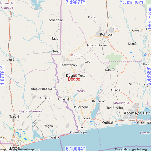
Dogbo GPS coordinates[2]
6° 47' 56.796" North, 1° 46' 50.628" East
| Map corner | latitude | longitude |
|---|---|---|
| Upper-left | 7.49677°, | 1.07761° |
| Center: | 6.79911°, | 1.78073° |
| Lower-right: | 6.10044°, | 2.48386° |
| Map W x H: | 155.3×155.3 km | = 96.5×96.5mi |
| max Lat: | 11.86819° ⇑58.7% North |
| Dogbo: | 6.79911° |
| min Lat: | ⇓41.3% South 6.28036° |
| min Long | Dogbo | max Long |
| 1.26651° | 1.78073° | 3.38327° |
| W 15.2%⇐ | ⇒84.8% E |
Elevation
Elevation of Dogbo is 72 m = 236 ft, and this is 90.8 m = 298 ft below average elevation for this country.
| Max E: |
472 m = 1549 ft | 65.2% |
| Avg. | 162.8 m = 534 ft | |
| Dogbo | 72 m = 236 ft | |
Min E: |
1 m = 3 ft | 34.8% |
See also: Dogbo elevation on elevation.city.
Geographical zone
Dogbo is located in North Torrid zone (between Equator and Tropic of Cancer). Distance of Equator is 756 km =469.8 mi to South.| Distance of | km | miles | from Dogbo |
|---|---|---|---|
| North Pole | 9251.1 | 5748.4 | to North |
| Arctic Circle | 6645.2 | 4129.1 | to North |
| Tropic Cancer | 1849.9 | 1149.5 | to North |
| Equator | 756 | 469.8 | to South |


Nearby cities:
15 places around Dogbo: (largest is in red/bold)
• Abomey
48.6 km =30.2 mi,  28°
28°
• Abomey-Calavi
74.5 km =46.3 mi,  121°
121°
• Allada
43.5 km =27 mi,  109°
109°
• Aplahoué
18.4 km =11.4 mi,  324°
324°
• Avakpa
32.7 km =20.3 mi, 117°
• Bohicon
52.7 km =32.7 mi,  36°
36°
• Comé
44.9 km =27.9 mi,  165°
165°
• Grand-Popo
57.9 km =36 mi,  175°
175°
• Hinvi
42.8 km =26.6 mi,  94°
94°
• Hévié
67 km =41.6 mi,  129°
129°
• Kpomassè
44.2 km =27.5 mi,  147°
147°
• Lokossa
19.2 km =11.9 mi,  201°
201°
• Ouidah
59 km =36.7 mi, 145°
• Pahou
66.2 km =41.1 mi, 133°
• Sé
36 km =22.4 mi,  98°
98°
Sources, notices
• [Note1] Compared only with cities in Benin existing in our database
• [Src1] Map data: © OpenStreetMap contributors (CC-BY-SA)
• [Src2] Other city data from geonames.org with taken over terms of usage.
• [Src3] Geographical zone / Annual Mean Temperature by Robert A. Rohde @ Wikipedia
