Tiquipaya geodata
Tiquipaya (Cochabamba) is a populated place; located in Bolivia in America/La_Paz (GMT-4) time zone. With population of 53,904 people, there are 13 cities with bigger population in this country. Compared to other cities in Bolivia, 73.3% of cities are located further ↓South; 69.6% of cities are located further →East and 57.8% of cities have lower elevation than Tiquipaya. Note1


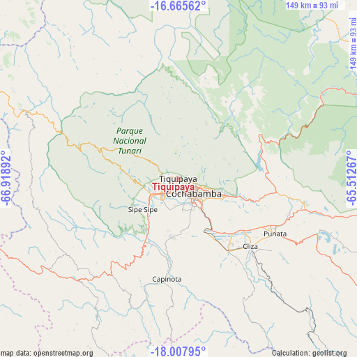
Tiquipaya GPS coordinates[2]
17° 20' 16.836" South, 66° 12' 56.844" West
| Map corner | latitude | longitude |
|---|---|---|
| Upper-left | -16.66562°, | -66.91892° |
| Center: | -17.33801°, | -66.21579° |
| Lower-right: | -18.00795°, | -65.51267° |
| Map W x H: | 149.3×149.3 km | = 92.8×92.8mi |
| max Lat: | -9.71828° ⇑26.7% North |
| Tiquipaya: | -17.33801° |
| min Lat: | ⇓73.3% South -22.73206° |
| min Long | Tiquipaya | max Long |
| -69.14843° | -66.21579° | -57.76667° |
| W 30.4%⇐ | ⇒69.6% E |
Elevation
Elevation of Tiquipaya is 2651 m = 8698 ft, and this is 639.7 m = 2099 ft above average elevation for this country.
| Max E: |
4732 m = 15525 ft | 42.2% |
| Tiquipaya | 2651 m 8698 ft | |
| Avg. | 2011.3 m = 6599 ft | |
Min E: |
92 m = 302 ft | 57.8% |
See also: Tiquipaya elevation on elevation.city.
Geographical zone
Tiquipaya is located in South Torrid zone (between Equator and Tropic of Capricorn). Distance of this Southern Tropic circle is 678.1 km =421.4 mi to South.| Distance of | km | miles | from Tiquipaya |
|---|---|---|---|
| Equator | 1927.8 | 1197.9 | to North |
| Tropic Capricorn | 678.1 | 421.4 | to South |
| Antarctic Circle | 5473.4 | 3401 | to South |
| South Pole | 8079.3 | 5020.2 | to South |


Nearby cities:
15 places around Tiquipaya: (largest is in red/bold)
• Arani
53.9 km =33.5 mi,  118°
118°
• Capinota
41.8 km =26 mi,  186°
186°
• Cliza
40.9 km =25.4 mi,  132°
132°
• Cochabamba
8.5 km =5.3 mi, 132°
• Colchani
53.2 km =33.1 mi,  272°
272°
• Colomi
37.1 km =23.1 mi,  92°
92°
• Colquiri
96.8 km =60.1 mi, 266°
• Independencia
69.9 km =43.4 mi,  293°
293°
• Irpa Irpa
42.4 km =26.3 mi, 187°
• Punata
46.4 km =28.8 mi, 119°
• Quillacollo
9 km =5.6 mi,  227°
227°
• Quime
113.4 km =70.5 mi, 290°
• Sacaba
20 km =12.4 mi,  109°
109°
• Sipe Sipe
21.7 km =13.5 mi, 234°
• Tarata
36.5 km =22.7 mi,  145°
145°
Sources, notices
• [Note1] Compared only with cities in Bolivia existing in our database
• [Src1] Map data: © OpenStreetMap contributors (CC-BY-SA)
• [Src2] Other city data from geonames.org with taken over terms of usage.
• [Src3] Geographical zone / Annual Mean Temperature by Robert A. Rohde @ Wikipedia
