Colquiri geodata
Colquiri (La Paz) is a populated place; located in Bolivia in America/La_Paz (GMT-4) time zone. With population of 3,933 people, there are 70 cities with bigger population in this country. Compared to other cities in Bolivia, 69.6% of cities are located further ↓South; 81.4% of cities are located further →East and 99.4% of cities have lower elevation than Colquiri. Note1


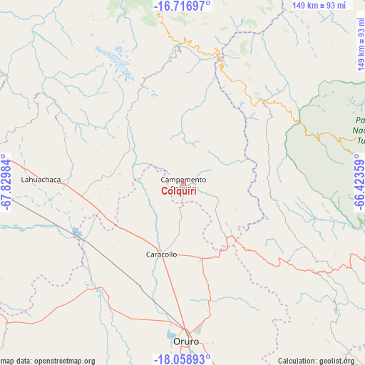
Colquiri GPS coordinates[2]
17° 23' 21.048" South, 67° 7' 36.156" West
| Map corner | latitude | longitude |
|---|---|---|
| Upper-left | -16.71697°, | -67.82984° |
| Center: | -17.38918°, | -67.12671° |
| Lower-right: | -18.05893°, | -66.42359° |
| Map W x H: | 149.2×149.2 km | = 92.7×92.7mi |
| max Lat: | -9.71828° ⇑30.4% North |
| Colquiri: | -17.38918° |
| min Lat: | ⇓69.6% South -22.73206° |
| min Long | Colquiri | max Long |
| -69.14843° | -67.12671° | -57.76667° |
| W 18.6%⇐ | ⇒81.4% E |
Elevation
Elevation of Colquiri is 4276 m = 14029 ft, and this is 2264.7 m = 7430 ft above average elevation for this country.
| Max E: |
4732 m = 15525 ft | 0.59999999999999% |
| Colquiri | 4276 m 14029 ft | |
| Avg. | 2011.3 m = 6599 ft | |
Min E: |
92 m = 302 ft | 99.4% |
See also: Bolivia elevation on elevation.city.
Geographical zone
Colquiri is located in South Torrid zone (between Equator and Tropic of Capricorn). Distance of this Southern Tropic circle is 672.4 km =417.8 mi to South.| Distance of | km | miles | from Colquiri |
|---|---|---|---|
| Equator | 1933.5 | 1201.4 | to North |
| Tropic Capricorn | 672.4 | 417.8 | to South |
| Antarctic Circle | 5467.7 | 3397.5 | to South |
| South Pole | 8073.6 | 5016.7 | to South |


Nearby cities:
15 places around Colquiri: (largest is in red/bold)
• Belen
45 km =28 mi,  273°
273°
• Capinota
98.5 km =61.2 mi,  111°
111°
• Colchani
44.3 km =27.5 mi,  79°
79°
• Eucaliptus
46.7 km =29 mi,  242°
242°
• Independencia
47.2 km =29.3 mi,  43°
43°
• Irpa Irpa
98.2 km =61 mi, 111°
• Lahuachaca
58.2 km =36.2 mi, 272°
• Machacamarca
87.8 km =54.6 mi,  172°
172°
• Oruro
66.1 km =41.1 mi,  182°
182°
• Patacamaya
86.1 km =53.5 mi,  281°
281°
• Quillacollo
90 km =55.9 mi,  90°
90°
• Quime
46.1 km =28.6 mi,  348°
348°
• Sipe Sipe
79.2 km =49.2 mi, 94°
• Tiquipaya
96.8 km =60.1 mi, 86°
• Viloco
66.4 km =41.3 mi,  317°
317°
Sources, notices
• [Note1] Compared only with cities in Bolivia existing in our database
• [Src1] Map data: © OpenStreetMap contributors (CC-BY-SA)
• [Src2] Other city data from geonames.org with taken over terms of usage.
• [Src3] Geographical zone / Annual Mean Temperature by Robert A. Rohde @ Wikipedia
