Sipe Sipe geodata
Sipe Sipe (Cochabamba) is a populated place; located in Bolivia in America/La_Paz (GMT-4) time zone. With population of 3,776 people, there are 73 cities with bigger population in this country. Compared to other cities in Bolivia, 65.8% of cities are located further ↓South; 72.7% of cities are located further →East and 60.9% of cities have lower elevation than Sipe Sipe. Note1


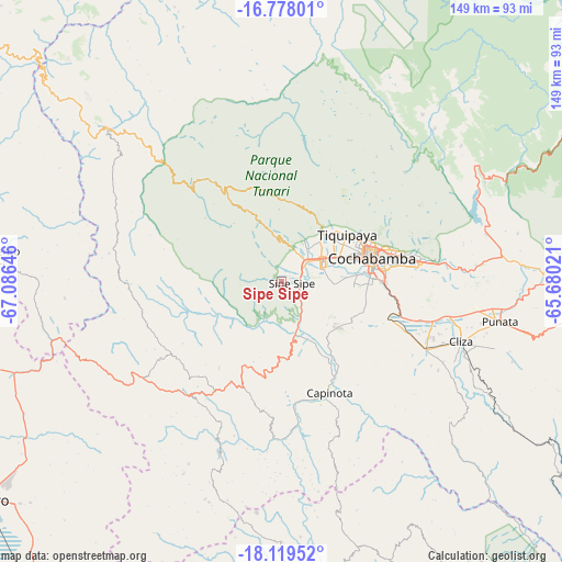
Sipe Sipe GPS coordinates[2]
17° 27' 0" South, 66° 22' 59.988" West
| Map corner | latitude | longitude |
|---|---|---|
| Upper-left | -16.77801°, | -67.08646° |
| Center: | -17.45°, | -66.38333° |
| Lower-right: | -18.11952°, | -65.68021° |
| Map W x H: | 149.2×149.2 km | = 92.7×92.7mi |
| max Lat: | -9.71828° ⇑34.2% North |
| Sipe Sipe: | -17.45° |
| min Lat: | ⇓65.8% South -22.73206° |
| min Long | Sipe Sipe | max Long |
| -69.14843° | -66.38333° | -57.76667° |
| W 27.3%⇐ | ⇒72.7% E |
Elevation
Elevation of Sipe Sipe is 2717 m = 8914 ft, and this is 705.7 m = 2315 ft above average elevation for this country.
| Max E: |
4732 m = 15525 ft | 39.1% |
| Sipe Sipe | 2717 m 8914 ft | |
| Avg. | 2011.3 m = 6599 ft | |
Min E: |
92 m = 302 ft | 60.9% |
See also: Bolivia elevation on elevation.city.
Geographical zone
Sipe Sipe is located in South Torrid zone (between Equator and Tropic of Capricorn). Distance of this Southern Tropic circle is 665.7 km =413.6 mi to South.| Distance of | km | miles | from Sipe Sipe |
|---|---|---|---|
| Equator | 1940.3 | 1205.6 | to North |
| Tropic Capricorn | 665.7 | 413.6 | to South |
| Antarctic Circle | 5460.9 | 3393.2 | to South |
| South Pole | 8066.8 | 5012.5 | to South |


Nearby cities:
15 places around Sipe Sipe: (largest is in red/bold)
• Arani
66.5 km =41.3 mi,  101°
101°
• Capinota
31.8 km =19.8 mi,  155°
155°
• Cliza
50.2 km =31.2 mi,  107°
107°
• Cochabamba
25 km =15.5 mi,  74°
74°
• Colchani
38.4 km =23.9 mi,  292°
292°
• Colomi
55.9 km =34.7 mi,  78°
78°
• Colquiri
79.2 km =49.2 mi,  274°
274°
• Independencia
61.5 km =38.2 mi,  311°
311°
• Irpa Irpa
32.1 km =19.9 mi, 157°
• Oruro
100.6 km =62.5 mi,  233°
233°
• Punata
59.1 km =36.7 mi, 100°
• Quillacollo
12.9 km =8 mi,  60°
60°
• Sacaba
37.1 km =23.1 mi, 81°
• Tarata
42.3 km =26.3 mi, 114°
• Tiquipaya
21.7 km =13.5 mi,  54°
54°
Sources, notices
• [Note1] Compared only with cities in Bolivia existing in our database
• [Src1] Map data: © OpenStreetMap contributors (CC-BY-SA)
• [Src2] Other city data from geonames.org with taken over terms of usage.
• [Src3] Geographical zone / Annual Mean Temperature by Robert A. Rohde @ Wikipedia
