Novo Oriente geodata
Novo Oriente (Ceará) is a populated place; located in Brazil in America/Fortaleza (GMT-3) time zone. With population of 14,529 people, there are 1247 cities with bigger population in this country. Compared to other cities in Brazil, 87% of cities are located further ↓South; 71.2% of cities are located further ←West and 50.3% of cities have higher elevation than Novo Oriente. Note1


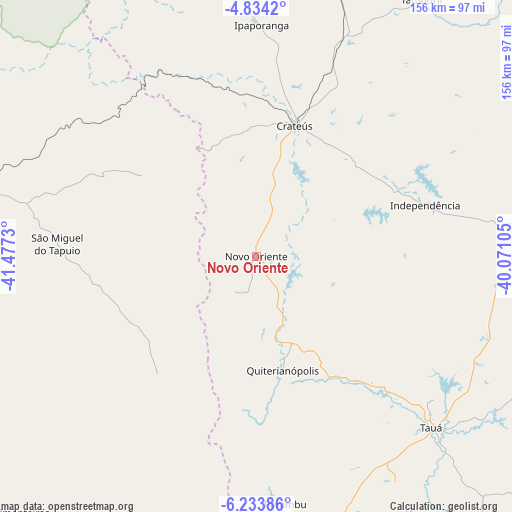
Novo Oriente GPS coordinates[2]
5° 32' 3.984" South, 40° 46' 27.012" West
| Map corner | latitude | longitude |
|---|---|---|
| Upper-left | -4.8342°, | -41.4773° |
| Center: | -5.53444°, | -40.77417° |
| Lower-right: | -6.23386°, | -40.07105° |
| Map W x H: | 155.6×155.6 km | = 96.7×96.7mi |
| max Lat: | 2.81972° ⇑13% North |
| Novo Oriente: | -5.53444° |
| min Lat: | ⇓87% South -33.69111° |
| min Long | Novo Oriente | max Long |
| -72.89583° | -40.77417° | -32.41083° |
| W 71.2%⇐ | ⇒28.8% E |
Elevation
Elevation of Novo Oriente is 347 m = 1138 ft, and this is 33.9 m = 111 ft below average elevation for this country.
| Max E: |
1603 m = 5259 ft | 50.3% |
| Avg. | 380.9 m = 1250 ft | |
| Novo Oriente | 347 m = 1138 ft | |
Min E: |
0 m = 0 ft | 49.7% |
See also: Brazil elevation on elevation.city.
Geographical zone
Novo Oriente is located in South Torrid zone (between Equator and Tropic of Capricorn). Distance of Equator is 615.4 km =382.4 mi to North.| Distance of | km | miles | from Novo Oriente |
|---|---|---|---|
| Equator | 615.4 | 382.4 | to North |
| Tropic Capricorn | 1990.5 | 1236.8 | to South |
| Antarctic Circle | 6785.8 | 4216.5 | to South |
| South Pole | 9391.7 | 5835.7 | to South |


Nearby cities:
15 places around Novo Oriente: (largest is in red/bold)
• Boa Viagem
123.9 km =77 mi,  68°
68°
• Castelo do Piauí
89.3 km =55.5 mi,  285°
285°
• Crateús
41 km =25.5 mi,  15°
15°
• Hidrolândia
130.7 km =81.2 mi, 16°
• Independência
53.8 km =33.4 mi, 73°
• Ipu
135 km =83.9 mi,  2°
2°
• Mombaça
129 km =80.2 mi,  100°
100°
• Nova Russas
95 km =59 mi,  14°
14°
• Parambu
75.8 km =47.1 mi,  173°
173°
• Pedra Branca
117.3 km =72.9 mi,  85°
85°
• Pimenteiras
106.5 km =66.2 mi,  222°
222°
• São João dos Inhamuns
75 km =46.6 mi,  133°
133°
• São Miguel do Tapuio
60.9 km =37.8 mi,  273°
273°
• Tamboril
92.8 km =57.7 mi,  32°
32°
• Várzea Alegre
47.9 km =29.8 mi,  64°
64°
Sources, notices
• [Note1] Compared only with cities in Brazil existing in our database
• [Src1] Map data: © OpenStreetMap contributors (CC-BY-SA)
• [Src2] Other city data from geonames.org with taken over terms of usage.
• [Src3] Geographical zone / Annual Mean Temperature by Robert A. Rohde @ Wikipedia
