Papagaios geodata
Papagaios (Minas Gerais) is a populated place; located in Brazil in America/Sao_Paulo (GMT-3) time zone. With population of 11,850 people, there are 1494 cities with bigger population in this country. Compared to other cities in Brazil, 54.3% of cities are located further ↑North; 52.7% of cities are located further ←West and 82.6% of cities have lower elevation than Papagaios. Note1


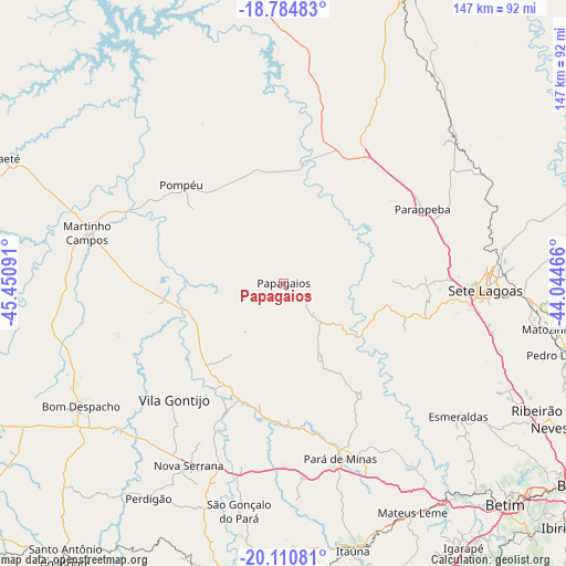
Papagaios GPS coordinates[2]
19° 26' 57.012" South, 44° 44' 52.008" West
| Map corner | latitude | longitude |
|---|---|---|
| Upper-left | -18.78483°, | -45.45091° |
| Center: | -19.44917°, | -44.74778° |
| Lower-right: | -20.11081°, | -44.04466° |
| Map W x H: | 147.4×147.4 km | = 91.6×91.6mi |
| max Lat: | 2.81972° ⇑54.3% North |
| Papagaios: | -19.44917° |
| min Lat: | ⇓45.7% South -33.69111° |
| min Long | Papagaios | max Long |
| -72.89583° | -44.74778° | -32.41083° |
| W 52.7%⇐ | ⇒47.3% E |
Elevation
Elevation of Papagaios is 722 m = 2369 ft, and this is 341.1 m = 1119 ft above average elevation for this country.
| Max E: |
1603 m = 5259 ft | 17.4% |
| Papagaios | 722 m 2369 ft | |
| Avg. | 380.9 m = 1250 ft | |
Min E: |
0 m = 0 ft | 82.6% |
See also: Brazil elevation on elevation.city.
Geographical zone
Papagaios is located in South Torrid zone (between Equator and Tropic of Capricorn). Distance of this Southern Tropic circle is 443.4 km =275.5 mi to South.| Distance of | km | miles | from Papagaios |
|---|---|---|---|
| Equator | 2162.5 | 1343.7 | to North |
| Tropic Capricorn | 443.4 | 275.5 | to South |
| Antarctic Circle | 5238.6 | 3255.1 | to South |
| South Pole | 7844.5 | 4874.3 | to South |


Nearby cities:
15 places around Papagaios: (largest is in red/bold)
• Abaeté
80 km =49.7 mi,  293°
293°
• Bom Despacho
61.7 km =38.3 mi,  238°
238°
• Divinópolis
78.6 km =48.8 mi,  190°
190°
• Esmeraldas
57.3 km =35.6 mi,  127°
127°
• Itaúna
71.9 km =44.7 mi,  165°
165°
• Juatuba
70.2 km =43.6 mi,  142°
142°
• Martinho Campos
52.9 km =32.9 mi,  284°
284°
• Mateus Leme
68.5 km =42.6 mi,  150°
150°
• Matozinhos
70.9 km =44.1 mi,  99°
99°
• Pará de Minas
48 km =29.8 mi,  162°
162°
• Pedro Leopoldo
76.2 km =47.3 mi, 104°
• Pitangui
30 km =18.6 mi,  209°
209°
• Pompéu
31.8 km =19.8 mi,  321°
321°
• Ribeirão das Neves
77.7 km =48.3 mi,  117°
117°
• Sete Lagoas
52.6 km =32.7 mi,  92°
92°
Sources, notices
• [Note1] Compared only with cities in Brazil existing in our database
• [Src1] Map data: © OpenStreetMap contributors (CC-BY-SA)
• [Src2] Other city data from geonames.org with taken over terms of usage.
• [Src3] Geographical zone / Annual Mean Temperature by Robert A. Rohde @ Wikipedia
