Abaeté geodata
Abaeté (Minas Gerais) is a populated place; located in Brazil in America/Sao_Paulo (GMT-3) time zone. With population of 20,370 people, there are 928 cities with bigger population in this country. Compared to other cities in Brazil, 53.6% of cities are located further ↑North; 50.8% of cities are located further →East and 76% of cities have lower elevation than Abaeté. Note1


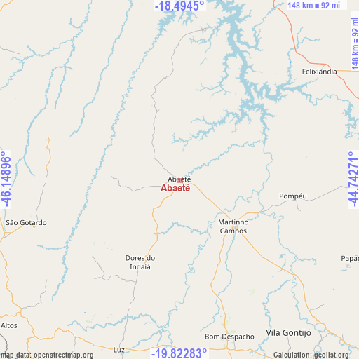
Abaeté GPS coordinates[2]
19° 9' 36" South, 45° 26' 44.988" West
| Map corner | latitude | longitude |
|---|---|---|
| Upper-left | -18.4945°, | -46.14896° |
| Center: | -19.16°, | -45.44583° |
| Lower-right: | -19.82283°, | -44.74271° |
| Map W x H: | 147.7×147.7 km | = 91.8×91.8mi |
| max Lat: | 2.81972° ⇑53.6% North |
| Abaeté: | -19.16° |
| min Lat: | ⇓46.4% South -33.69111° |
| min Long | Abaeté | max Long |
| -72.89583° | -45.44583° | -32.41083° |
| W 49.2%⇐ | ⇒50.8% E |
Elevation
Elevation of Abaeté is 639 m = 2096 ft, and this is 258.1 m = 847 ft above average elevation for this country.
| Max E: |
1603 m = 5259 ft | 24% |
| Abaeté | 639 m 2096 ft | |
| Avg. | 380.9 m = 1250 ft | |
Min E: |
0 m = 0 ft | 76% |
See also: Brazil elevation on elevation.city.
Geographical zone
Abaeté is located in South Torrid zone (between Equator and Tropic of Capricorn). Distance of this Southern Tropic circle is 475.5 km =295.5 mi to South.| Distance of | km | miles | from Abaeté |
|---|---|---|---|
| Equator | 2130.4 | 1323.8 | to North |
| Tropic Capricorn | 475.5 | 295.5 | to South |
| Antarctic Circle | 5270.8 | 3275.1 | to South |
| South Pole | 7876.7 | 4894.4 | to South |


Nearby cities:
15 places around Abaeté: (largest is in red/bold)
• Bambuí
109.3 km =67.9 mi,  210°
210°
• Bom Despacho
67.2 km =41.8 mi,  162°
162°
• Campos Altos
96.7 km =60.1 mi,  231°
231°
• Carmo do Paranaíba
93.1 km =57.8 mi,  280°
280°
• Curvelo
115.8 km =72 mi,  67°
67°
• Dores do Indaiá
37.5 km =23.3 mi, 205°
• Lagoa Formosa
109.7 km =68.2 mi,  292°
292°
• Lagoa da Prata
96.4 km =59.9 mi,  186°
186°
• Luz
75.6 km =47 mi,  199°
199°
• Martinho Campos
29.1 km =18.1 mi,  131°
131°
• Papagaios
80 km =49.7 mi,  113°
113°
• Pitangui
82.3 km =51.1 mi, 134°
• Pompéu
54.1 km =33.6 mi,  97°
97°
• Santo Antônio do Monte
104.3 km =64.8 mi,  171°
171°
• São Gotardo
65.5 km =40.7 mi,  255°
255°
Sources, notices
• [Note1] Compared only with cities in Brazil existing in our database
• [Src1] Map data: © OpenStreetMap contributors (CC-BY-SA)
• [Src2] Other city data from geonames.org with taken over terms of usage.
• [Src3] Geographical zone / Annual Mean Temperature by Robert A. Rohde @ Wikipedia
