Carmo do Paranaíba geodata
Carmo do Paranaíba (Minas Gerais) is a populated place; located in Brazil in America/Sao_Paulo (GMT-3) time zone. With population of 26,537 people, there are 747 cities with bigger population in this country. Compared to other cities in Brazil, 53.3% of cities are located further ↑North; 53.7% of cities are located further →East and 99.2% of cities have lower elevation than Carmo do Paranaíba. Note1


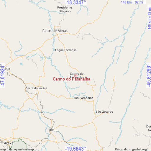
Carmo do Paranaíba GPS coordinates[2]
19° 0' 2.988" South, 46° 18' 57.996" West
| Map corner | latitude | longitude |
|---|---|---|
| Upper-left | -18.3347°, | -47.01924° |
| Center: | -19.00083°, | -46.31611° |
| Lower-right: | -19.6643°, | -45.61299° |
| Map W x H: | 147.8×147.8 km | = 91.8×91.8mi |
| max Lat: | 2.81972° ⇑53.3% North |
| Carmo do Paranaíba: | -19.00083° |
| min Lat: | ⇓46.7% South -33.69111° |
| min Long | Carmo do Parana | max Long |
| -72.89583° | -46.31611° | -32.41083° |
| W 46.3%⇐ | ⇒53.7% E |
Elevation
Elevation of Carmo do Paranaíba is 1069 m = 3507 ft, and this is 688.1 m = 2258 ft above average elevation for this country.
| Max E: |
1603 m = 5259 ft | 0.8% |
| Carmo do Paranaíba | 1069 m 3507 ft | |
| Avg. | 380.9 m = 1250 ft | |
Min E: |
0 m = 0 ft | 99.2% |
See also: Brazil elevation on elevation.city.
Geographical zone
Carmo do Paranaíba is located in South Torrid zone (between Equator and Tropic of Capricorn). Distance of this Southern Tropic circle is 493.2 km =306.5 mi to South.| Distance of | km | miles | from Carmo do Paranaíba |
|---|---|---|---|
| Equator | 2112.7 | 1312.8 | to North |
| Tropic Capricorn | 493.2 | 306.5 | to South |
| Antarctic Circle | 5288.5 | 3286.1 | to South |
| South Pole | 7894.4 | 4905.4 | to South |


Nearby cities:
15 places around Carmo do Paranaíba: (largest is in red/bold)
• Abaeté
93.1 km =57.8 mi,  100°
100°
• Araxá
92.9 km =57.7 mi,  224°
224°
• Bambuí
117.3 km =72.9 mi,  162°
162°
• Campos Altos
78.8 km =49 mi,  168°
168°
• Coromandel
110 km =68.4 mi,  302°
302°
• Dores do Indaiá
90.9 km =56.5 mi,  124°
124°
• Ibiá
58 km =36 mi,  203°
203°
• Lagoa Formosa
26.5 km =16.5 mi,  338°
338°
• Luz
110.9 km =68.9 mi,  143°
143°
• Martinho Campos
119.2 km =74.1 mi,  107°
107°
• Monte Carmelo
128.2 km =79.7 mi,  283°
283°
• Patos de Minas
51.5 km =32 mi, 335°
• Patrocínio
71.4 km =44.4 mi, 275°
• Presidente Olegário
65.7 km =40.8 mi,  350°
350°
• São Gotardo
44.5 km =27.7 mi, 140°
Sources, notices
• [Note1] Compared only with cities in Brazil existing in our database
• [Src1] Map data: © OpenStreetMap contributors (CC-BY-SA)
• [Src2] Other city data from geonames.org with taken over terms of usage.
• [Src3] Geographical zone / Annual Mean Temperature by Robert A. Rohde @ Wikipedia
