Alberton geodata
Alberton (Prince Edward Island) is a populated place; located in Canada in America/Halifax (GMT-3) time zone. With population of 1,147 people, there are 976 cities with bigger population in this country. Compared to other cities in Canada, 52.4% of cities are located further ↑North; 93.8% of cities are located further ←West and 93.8% of cities have higher elevation than Alberton. Note1


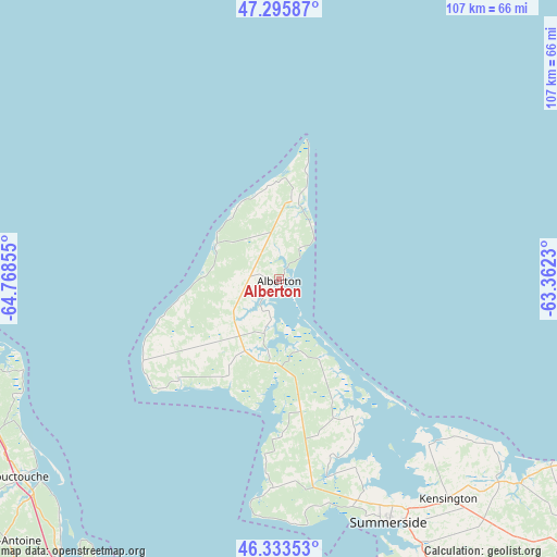
Alberton GPS coordinates[2]
46° 49' 0.66" North, 64° 3' 55.512" West
| Map corner | latitude | longitude |
|---|---|---|
| Upper-left | 47.29587°, | -64.76855° |
| Center: | 46.81685°, | -64.06542° |
| Lower-right: | 46.33353°, | -63.3623° |
| Map W x H: | 107×107 km | = 66.5×66.5mi |
| max Lat: | 73.03752° ⇑52.4% North |
| Alberton: | 46.81685° |
| min Lat: | ⇓47.6% South 42.05009° |
| min Long | Alberton | max Long |
| -139.43328° | -64.06542° | -52.70931° |
| W 93.8%⇐ | ⇒6.2% E |
Elevation
Elevation of Alberton is 10 m = 33 ft, and this is 244.4 m = 802 ft below average elevation for this country.
| Max E: |
1518 m = 4980 ft | 93.8% |
| Avg. | 254.4 m = 835 ft | |
| Alberton | 10 m = 33 ft | |
Min E: |
-2 m = -7 ft | 6.2% |
See also: Canada elevation on elevation.city.
Geographical zone
Alberton is located in North temperate zone (between Tropic of Cancer and the Arctic Circle). Distance of this North polar circle is 2195.6 km =1364.3 mi to North.| Distance of | km | miles | from Alberton |
|---|---|---|---|
| North Pole | 4801.5 | 2983.5 | to North |
| Arctic Circle | 2195.6 | 1364.3 | to North |
| Tropic Cancer | 2599.6 | 1615.3 | to South |
| Equator | 5205.5 | 3234.5 | to South |


Nearby cities:
15 places around Alberton: (largest is in red/bold)
• Aldouane
78.9 km =49 mi,  255°
255°
• Baie Ste. Anne
72.3 km =44.9 mi,  291°
291°
• Bouctouche
64.4 km =40 mi,  233°
233°
• Brantville
92.1 km =57.2 mi,  311°
311°
• Grande-Digue
69 km =42.9 mi,  213°
213°
• Haute-Aboujagane
78.6 km =48.8 mi,  198°
198°
• Kensington
53.2 km =33.1 mi,  143°
143°
• Richibucto
63.9 km =39.7 mi, 256°
• Saint-Antoine
72.7 km =45.2 mi, 226°
• Saint-Ignace
78.5 km =48.8 mi, 260°
• Shediac
75.7 km =47 mi, 208°
• Shediac Bridge-Shediac River
73.4 km =45.6 mi, 213°
• Shediac Cape
75.3 km =46.8 mi, 210°
• Summerside
51.4 km =31.9 mi,  155°
155°
• Tabusintac
91.4 km =56.8 mi, 308°
Sources, notices
• [Note1] Compared only with cities in Canada existing in our database
• [Src1] Map data: © OpenStreetMap contributors (CC-BY-SA)
• [Src2] Other city data from geonames.org with taken over terms of usage.
• [Src3] Geographical zone / Annual Mean Temperature by Robert A. Rohde @ Wikipedia
