Houston geodata
Houston (British Columbia) is a populated place; located in Canada in America/Vancouver (GMT-7) time zone. With population of 2,884 people, there are 629 cities with bigger population in this country. Compared to other cities in Canada, 94.1% of cities are located further ↓South; 98.5% of cities are located further →East and 86.2% of cities have lower elevation than Houston. Note1
Administrative division(s):
- Level 1: British Columbia
- Level 2: Regional District of Bulkley-Nechako
- Level 3: Houston


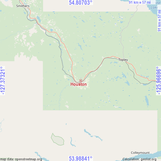
Houston GPS coordinates[2]
54° 23' 59.136" North, 126° 40' 12.288" West
| Map corner | latitude | longitude |
|---|---|---|
| Upper-left | 54.80703°, | -127.37321° |
| Center: | 54.39976°, | -126.67008° |
| Lower-right: | 53.98841°, | -125.96696° |
| Map W x H: | 91×91 km | = 56.5×56.5mi |
| max Lat: | 73.03752° ⇑5.9% North |
| Houston: | 54.39976° |
| min Lat: | ⇓94.1% South 42.05009° |
| min Long | Houston | max Long |
| -139.43328° | -126.67008° | -52.70931° |
| W 1.5%⇐ | ⇒98.5% E |
Elevation
Elevation of Houston is 590 m = 1936 ft, and this is 335.6 m = 1101 ft above average elevation for this country.
| Max E: |
1518 m = 4980 ft | 13.8% |
| Houston | 590 m 1936 ft | |
| Avg. | 254.4 m = 835 ft | |
Min E: |
-2 m = -7 ft | 86.2% |
See also: Canada elevation on elevation.city.
Geographical zone
Houston is located in North temperate zone (between Tropic of Cancer and the Arctic Circle). Distance of this North polar circle is 1352.5 km =840.4 mi to North.| Distance of | km | miles | from Houston |
|---|---|---|---|
| North Pole | 3958.4 | 2459.6 | to North |
| Arctic Circle | 1352.5 | 840.4 | to North |
| Tropic Cancer | 3442.8 | 2139.3 | to South |
| Equator | 6048.7 | 3758.5 | to South |


Nearby cities:
10 places around Houston: (largest is in red/bold)
• Burns Lake
61.9 km =38.5 mi,  107°
107°
• Kitimat
134.6 km =83.6 mi,  253°
253°
• Mackenzie
251.4 km =156.2 mi,  65°
65°
• New Hazelton
111.1 km =69 mi,  327°
327°
• Port McNeill
424.8 km =264 mi,  183°
183°
• Prince George
260.6 km =161.9 mi,  101°
101°
• Prince Rupert
236.7 km =147.1 mi,  267°
267°
• Smithers
53.3 km =33.1 mi,  322°
322°
• Terrace
125.6 km =78 mi,  275°
275°
• Vanderhoof
177.5 km =110.3 mi, 103°
Sources, notices
• [Note1] Compared only with cities in Canada existing in our database
• [Src1] Map data: © OpenStreetMap contributors (CC-BY-SA)
• [Src2] Other city data from geonames.org with taken over terms of usage.
• [Src3] Geographical zone / Annual Mean Temperature by Robert A. Rohde @ Wikipedia
