Burns Lake geodata
Burns Lake (British Columbia) is a populated place; located in Canada in America/Vancouver (GMT-7) time zone. With population of 2,635 people, there are 657 cities with bigger population in this country. Compared to other cities in Canada, 93.9% of cities are located further ↓South; 98.2% of cities are located further →East and 93.2% of cities have lower elevation than Burns Lake. Note1
Administrative division(s):
- Level 1: British Columbia
- Level 2: Regional District of Bulkley-Nechako
- Level 3: Burns Lake


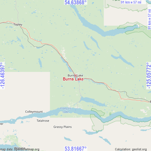
Burns Lake GPS coordinates[2]
54° 13' 46.992" North, 125° 45' 39.024" West
| Map corner | latitude | longitude |
|---|---|---|
| Upper-left | 54.63868°, | -126.46397° |
| Center: | 54.22972°, | -125.76084° |
| Lower-right: | 53.81667°, | -125.05772° |
| Map W x H: | 91.4×91.4 km | = 56.8×56.8mi |
| max Lat: | 73.03752° ⇑6.1% North |
| Burns Lake: | 54.22972° |
| min Lat: | ⇓93.9% South 42.05009° |
| min Long | Burns Lake | max Long |
| -139.43328° | -125.76084° | -52.70931° |
| W 1.8%⇐ | ⇒98.2% E |
Elevation
Elevation of Burns Lake is 724 m = 2375 ft, and this is 469.6 m = 1541 ft above average elevation for this country.
| Max E: |
1518 m = 4980 ft | 6.8% |
| Burns Lake | 724 m 2375 ft | |
| Avg. | 254.4 m = 835 ft | |
Min E: |
-2 m = -7 ft | 93.2% |
See also: Canada elevation on elevation.city.
Geographical zone
Burns Lake is located in North temperate zone (between Tropic of Cancer and the Arctic Circle). Distance of this North polar circle is 1371.4 km =852.1 mi to North.| Distance of | km | miles | from Burns Lake |
|---|---|---|---|
| North Pole | 3977.3 | 2471.4 | to North |
| Arctic Circle | 1371.4 | 852.1 | to North |
| Tropic Cancer | 3423.9 | 2127.5 | to South |
| Equator | 6029.8 | 3746.7 | to South |


Nearby cities:
11 places around Burns Lake: (largest is in red/bold)
• Hanceville
314.5 km =195.4 mi,  144°
144°
• Houston
61.9 km =38.5 mi,  287°
287°
• Kitimat
189.4 km =117.7 mi,  264°
264°
• Mackenzie
210.7 km =130.9 mi,  54°
54°
• New Hazelton
163.1 km =101.3 mi,  313°
313°
• Port McNeill
414.8 km =257.7 mi,  192°
192°
• Prince George
199.3 km =123.8 mi,  100°
100°
• Quesnel
256.5 km =159.4 mi,  122°
122°
• Smithers
109.9 km =68.3 mi,  303°
303°
• Terrace
186.8 km =116.1 mi,  279°
279°
• Vanderhoof
115.9 km =72 mi, 101°
Sources, notices
• [Note1] Compared only with cities in Canada existing in our database
• [Src1] Map data: © OpenStreetMap contributors (CC-BY-SA)
• [Src2] Other city data from geonames.org with taken over terms of usage.
• [Src3] Geographical zone / Annual Mean Temperature by Robert A. Rohde @ Wikipedia
