Meaford geodata
Meaford (Ontario) is a populated place; located in Canada in America/Toronto (GMT-4) time zone. With population of 4,910 people, there are 480 cities with bigger population in this country. Compared to other cities in Canada, 87% of cities are located further ↑North; 57.2% of cities are located further →East and 55.4% of cities have lower elevation than Meaford. Note1


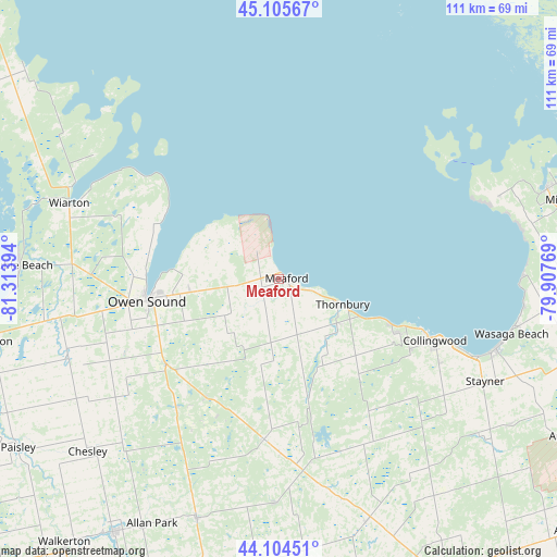
Meaford GPS coordinates[2]
44° 36' 26.1" North, 80° 36' 38.916" West
| Map corner | latitude | longitude |
|---|---|---|
| Upper-left | 45.10567°, | -81.31394° |
| Center: | 44.60725°, | -80.61081° |
| Lower-right: | 44.10451°, | -79.90769° |
| Map W x H: | 111.3×111.3 km | = 69.2×69.2mi |
| max Lat: | 73.03752° ⇑87% North |
| Meaford: | 44.60725° |
| min Lat: | ⇓13% South 42.05009° |
| min Long | Meaford | max Long |
| -139.43328° | -80.61081° | -52.70931° |
| W 42.8%⇐ | ⇒57.2% E |
Elevation
Elevation of Meaford is 202 m = 663 ft, and this is 52.4 m = 172 ft below average elevation for this country.
| Max E: |
1518 m = 4980 ft | 44.6% |
| Avg. | 254.4 m = 835 ft | |
| Meaford | 202 m = 663 ft | |
Min E: |
-2 m = -7 ft | 55.4% |
See also: Canada elevation on elevation.city.
Geographical zone
Meaford is located in North temperate zone (between Tropic of Cancer and the Arctic Circle). Distance of this Northern Tropic circle is 2353.9 km =1462.6 mi to South.| Distance of | km | miles | from Meaford |
|---|---|---|---|
| North Pole | 5047.2 | 3136.2 | to North |
| Arctic Circle | 2441.3 | 1517 | to North |
| Tropic Cancer | 2353.9 | 1462.6 | to South |
| Equator | 4959.9 | 3081.9 | to South |


Nearby cities:
15 places around Meaford: (largest is in red/bold)
• Alliston
78 km =48.5 mi,  130°
130°
• Angus
66.2 km =41.1 mi,  119°
119°
• Anten Mills
64.4 km =40 mi,  102°
102°
• Barrie
78.4 km =48.7 mi,  107°
107°
• Collingwood
34.2 km =21.3 mi, 113°
• Elmvale
59 km =36.7 mi,  92°
92°
• Hanover
60.9 km =37.8 mi,  213°
213°
• Markdale
32.4 km =20.1 mi,  185°
185°
• Midland
59.7 km =37.1 mi,  74°
74°
• Mildmay
73.9 km =45.9 mi, 212°
• Neustadt
65.9 km =40.9 mi, 207°
• Owen Sound
26.7 km =16.6 mi,  260°
260°
• Paisley
62.3 km =38.7 mi,  237°
237°
• Shelburne
67.1 km =41.7 mi,  151°
151°
• Wasaga Beach
48.2 km =30 mi, 102°
Sources, notices
• [Note1] Compared only with cities in Canada existing in our database
• [Src1] Map data: © OpenStreetMap contributors (CC-BY-SA)
• [Src2] Other city data from geonames.org with taken over terms of usage.
• [Src3] Geographical zone / Annual Mean Temperature by Robert A. Rohde @ Wikipedia
