Kalemie geodata
Kalemie (Tanganyika) is a populated place; located in Democratic Republic of the Congo in Africa/Lubumbashi (GMT+2) time zone. With population of 146,974 people, there are 19 cities with bigger population in this country. Compared to other cities in Democratic Republic of the Congo, 80% of cities are located further ↑North; 92.9% of cities are located further ←West and 72.9% of cities have lower elevation than Kalemie. Note1


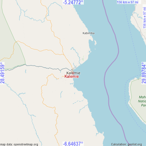
Kalemie GPS coordinates[2]
5° 56' 50.964" South, 29° 11' 40.956" East
| Map corner | latitude | longitude |
|---|---|---|
| Upper-left | -5.24772°, | 28.49159° |
| Center: | -5.94749°, | 29.19471° |
| Lower-right: | -6.64637°, | 29.89784° |
| Map W x H: | 155.5×155.5 km | = 96.6×96.6mi |
| max Lat: | 4.279° ⇑80% North |
| Kalemie: | -5.94749° |
| min Lat: | ⇓20% South -11.76097° |
| min Long | Kalemie | max Long |
| 12.37148° | 29.19471° | 30.25224° |
| W 92.9%⇐ | ⇒7.1% E |
Elevation
Elevation of Kalemie is 787 m = 2582 ft, and this is 131 m = 430 ft above average elevation for this country.
| Max E: |
1996 m = 6549 ft | 27.1% |
| Kalemie | 787 m 2582 ft | |
| Avg. | 656 m = 2152 ft | |
Min E: |
11 m = 36 ft | 72.9% |
See also: Kalemie elevation on elevation.city.
Geographical zone
Kalemie is located in South Torrid zone (between Equator and Tropic of Capricorn). Distance of Equator is 661.3 km =410.9 mi to North.| Distance of | km | miles | from Kalemie |
|---|---|---|---|
| Equator | 661.3 | 410.9 | to North |
| Tropic Capricorn | 1944.6 | 1208.3 | to South |
| Antarctic Circle | 6739.9 | 4188 | to South |
| South Pole | 9345.8 | 5807.2 | to South |


Nearby cities:
8 places around Kalemie: (largest is in red/bold)
• Bukavu
386.3 km =240 mi,  354°
354°
• Kabalo
252.4 km =156.8 mi,  267°
267°
• Kabare
386.3 km =240 mi, 353°
• Kampene
383.1 km =238 mi,  313°
313°
• Kasongo
327 km =203.2 mi,  301°
301°
• Kongolo
250.7 km =155.8 mi,  284°
284°
• Lubao
386.3 km =240 mi, 279°
• Uvira
283.8 km =176.3 mi,  358°
358°
Sources, notices
• [Note1] Compared only with cities in Democratic Republic of the Congo existing in our database
• [Src1] Map data: © OpenStreetMap contributors (CC-BY-SA)
• [Src2] Other city data from geonames.org with taken over terms of usage.
• [Src3] Geographical zone / Annual Mean Temperature by Robert A. Rohde @ Wikipedia
