Uvira geodata
Uvira (South Kivu) is a populated place; located in Democratic Republic of the Congo in Africa/Lubumbashi (GMT+2) time zone. With population of 170,391 people, there are 15 cities with bigger population in this country. Compared to other cities in Democratic Republic of the Congo, 52.9% of cities are located further ↓South; 91.4% of cities are located further ←West and 77.1% of cities have lower elevation than Uvira. Note1


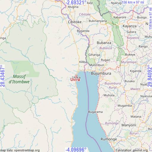
Uvira GPS coordinates[2]
3° 23' 43.224" South, 29° 8' 16.044" East
| Map corner | latitude | longitude |
|---|---|---|
| Upper-left | -2.69321°, | 28.43467° |
| Center: | -3.39534°, | 29.13779° |
| Lower-right: | -4.09696°, | 29.84092° |
| Map W x H: | 156.1×156.1 km | = 97×97mi |
| max Lat: | 4.279° ⇑47.1% North |
| Uvira: | -3.39534° |
| min Lat: | ⇓52.9% South -11.76097° |
| min Long | Uvira | max Long |
| 12.37148° | 29.13779° | 30.25224° |
| W 91.4%⇐ | ⇒8.6% E |
Elevation
Elevation of Uvira is 806 m = 2644 ft, and this is 150 m = 492 ft above average elevation for this country.
| Max E: |
1996 m = 6549 ft | 22.9% |
| Uvira | 806 m 2644 ft | |
| Avg. | 656 m = 2152 ft | |
Min E: |
11 m = 36 ft | 77.1% |
See also: Uvira elevation on elevation.city.
Geographical zone
Uvira is located in South Torrid zone (between Equator and Tropic of Capricorn). Distance of Equator is 377.5 km =234.6 mi to North.| Distance of | km | miles | from Uvira |
|---|---|---|---|
| Equator | 377.5 | 234.6 | to North |
| Tropic Capricorn | 2228.4 | 1384.7 | to South |
| Antarctic Circle | 7023.6 | 4364.3 | to South |
| South Pole | 9629.5 | 5983.5 | to South |


Nearby cities:
13 places around Uvira: (largest is in red/bold)
• Beni
433.7 km =269.5 mi,  4°
4°
• Bukavu
105.8 km =65.7 mi,  341°
341°
• Butembo
393.6 km =244.6 mi, 2°
• Goma
191.6 km =119.1 mi, 3°
• Kabalo
384.7 km =239 mi,  219°
219°
• Kabare
107.1 km =66.5 mi, 338°
• Kalemie
283.8 km =176.3 mi,  178°
178°
• Kampene
275.1 km =170.9 mi,  265°
265°
• Kasongo
297.2 km =184.7 mi,  247°
247°
• Kindu
360.5 km =224 mi,  278°
278°
• Kongolo
324.2 km =201.4 mi,  226°
226°
• Lubao
436.1 km =271 mi,  239°
239°
• Sake
202.8 km =126 mi,  357°
357°
Sources, notices
• [Note1] Compared only with cities in Democratic Republic of the Congo existing in our database
• [Src1] Map data: © OpenStreetMap contributors (CC-BY-SA)
• [Src2] Other city data from geonames.org with taken over terms of usage.
• [Src3] Geographical zone / Annual Mean Temperature by Robert A. Rohde @ Wikipedia
