Sémbé geodata
Sémbé (Sangha) is a populated place; located in Republic of the Congo in Africa/Brazzaville (GMT+1) time zone. With population of 3,113 people, there are 16 cities with bigger population in this country. Compared to other cities in Republic of the Congo, 100% of cities are located further ↓South; 52.6% of cities are located further →East and 78.9% of cities have lower elevation than Sémbé. Note1


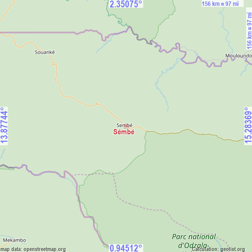
Sémbé GPS coordinates[2]
1° 38' 53.016" North, 14° 34' 50.016" East
| Map corner | latitude | longitude |
|---|---|---|
| Upper-left | 2.35075°, | 13.87744° |
| Center: | 1.64806°, | 14.58056° |
| Lower-right: | 0.94512°, | 15.28369° |
| Map W x H: | 156.3×156.3 km | = 97.1×97.1mi |
| max Lat: | 1.64806° ⇑0% North |
| Sémbé: | 1.64806° |
| min Lat: | ⇓100% South -4.77609° |
| min Long | Sémbé | max Long |
| 11.8125° | 14.58056° | 18.05981° |
| W 47.4%⇐ | ⇒52.6% E |
Elevation
Elevation of Sémbé is 427 m = 1401 ft, and this is 108 m = 354 ft above average elevation for this country.
| Max E: |
790 m = 2592 ft | 21.1% |
| Sémbé | 427 m 1401 ft | |
| Avg. | 319 m = 1047 ft | |
Min E: |
7 m = 23 ft | 78.9% |
See also: Republic of the Congo elevation on elevation.city.
Geographical zone
Sémbé is located in North Torrid zone (between Equator and Tropic of Cancer). Distance of Equator is 183.2 km =113.8 mi to South.| Distance of | km | miles | from Sémbé |
|---|---|---|---|
| North Pole | 9823.8 | 6104.2 | to North |
| Arctic Circle | 7217.9 | 4485 | to North |
| Tropic Cancer | 2422.7 | 1505.4 | to North |
| Equator | 183.2 | 113.8 | to South |


Nearby cities:
6 places around Sémbé: (largest is in red/bold)
• Ewo
281.5 km =174.9 mi,  174°
174°
• Gamboma
417.1 km =259.2 mi,  159°
159°
• Impfondo
386.7 km =240.3 mi,  90°
90°
• Makoua
216.8 km =134.7 mi,  147°
147°
• Ouésso
163.6 km =101.7 mi, 91°
• Owando
278.6 km =173.1 mi, 148°
Sources, notices
• [Note1] Compared only with cities in Republic of the Congo existing in our database
• [Src1] Map data: © OpenStreetMap contributors (CC-BY-SA)
• [Src2] Other city data from geonames.org with taken over terms of usage.
• [Src3] Geographical zone / Annual Mean Temperature by Robert A. Rohde @ Wikipedia
