Makoua geodata
Makoua (Cuvette) is a populated place; located in Republic of the Congo in Africa/Brazzaville (GMT+1) time zone. With population of 11,355 people, there are 13 cities with bigger population in this country. Compared to other cities in Republic of the Congo, 84.2% of cities are located further ↓South; 78.9% of cities are located further ←West and 57.9% of cities have higher elevation than Makoua. Note1


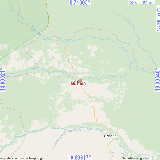
Makoua GPS coordinates[2]
0° 0' 24.984" North, 15° 37' 59.988" East
| Map corner | latitude | longitude |
|---|---|---|
| Upper-left | 0.71005°, | 14.93021° |
| Center: | 0.00694°, | 15.63333° |
| Lower-right: | -0.69617°, | 16.33646° |
| Map W x H: | 156.4×156.4 km | = 97.2×97.2mi |
| max Lat: | 1.64806° ⇑15.8% North |
| Makoua: | 0.00694° |
| min Lat: | ⇓84.2% South -4.77609° |
| min Long | Makoua | max Long |
| 11.8125° | 15.63333° | 18.05981° |
| W 78.9%⇐ | ⇒21.1% E |
Elevation
Elevation of Makoua is 324 m = 1063 ft, and this is 5 m = 16 ft above average elevation for this country.
| Max E: |
790 m = 2592 ft | 57.9% |
| Makoua | 324 m 1063 ft | |
| Avg. | 319 m = 1047 ft | |
Min E: |
7 m = 23 ft | 42.1% |
See also: Republic of the Congo elevation on elevation.city.
Geographical zone
Makoua is located in North Torrid zone (between Equator and Tropic of Cancer). Distance of Equator is 0.8 km =0.5 mi to South.| Distance of | km | miles | from Makoua |
|---|---|---|---|
| North Pole | 10006.3 | 6217.6 | to North |
| Arctic Circle | 7400.4 | 4598.4 | to North |
| Tropic Cancer | 2605.1 | 1618.7 | to North |
| Equator | 0.8 | 0.5 | to South |


Nearby cities:
7 places around Makoua: (largest is in red/bold)
• Djambala
300.1 km =186.5 mi,  199°
199°
• Ewo
133.1 km =82.7 mi,  222°
222°
• Gamboma
211 km =131.1 mi,  173°
173°
• Impfondo
323.8 km =201.2 mi,  56°
56°
• Ouésso
184.6 km =114.7 mi,  14°
14°
• Owando
61.9 km =38.5 mi,  151°
151°
• Sémbé
216.8 km =134.7 mi,  327°
327°
Sources, notices
• [Note1] Compared only with cities in Republic of the Congo existing in our database
• [Src1] Map data: © OpenStreetMap contributors (CC-BY-SA)
• [Src2] Other city data from geonames.org with taken over terms of usage.
• [Src3] Geographical zone / Annual Mean Temperature by Robert A. Rohde @ Wikipedia
