Törbel geodata
Törbel (Valais) is a populated place; located in Switzerland in Europe/Zurich (GMT+2) time zone. With population of 511 people, there are 1790 cities with bigger population in this country. Compared to other cities in Switzerland, 92.8% of cities are located further ↑North; 63.9% of cities are located further →East and 99.1% of cities have lower elevation than Törbel. Note1


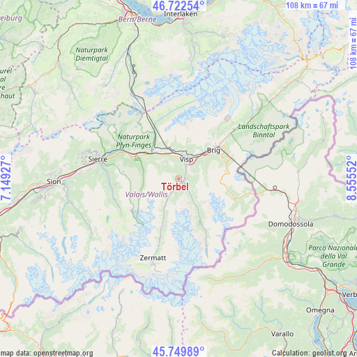
Törbel GPS coordinates[2]
46° 14' 18.132" North, 7° 51' 8.604" East
| Map corner | latitude | longitude |
|---|---|---|
| Upper-left | 46.72254°, | 7.14927° |
| Center: | 46.23837°, | 7.85239° |
| Lower-right: | 45.74989°, | 8.55552° |
| Map W x H: | 108.1×108.1 km | = 67.2×67.2mi |
| max Lat: | 47.76737° ⇑92.8% North |
| Törbel: | 46.23837° |
| min Lat: | ⇓7.2% South 45.83203° |
| min Long | Törbel | max Long |
| 5.97153° | 7.85239° | 10.44624° |
| W 36.1%⇐ | ⇒63.9% E |
Elevation
Elevation of Törbel is 1547 m = 5075 ft, and this is 988.8 m = 3244 ft above average elevation for this country.
| Max E: |
1845 m = 6053 ft | 0.90000000000001% |
| Törbel | 1547 m 5075 ft | |
| Avg. | 558.2 m = 1831 ft | |
Min E: |
197 m = 646 ft | 99.1% |
See also: Switzerland elevation on elevation.city.
Geographical zone
Törbel is located in North temperate zone (between Tropic of Cancer and the Arctic Circle). Distance of this North polar circle is 2259.9 km =1404.2 mi to North.| Distance of | km | miles | from Törbel |
|---|---|---|---|
| North Pole | 4865.8 | 3023.5 | to North |
| Arctic Circle | 2259.9 | 1404.2 | to North |
| Tropic Cancer | 2535.3 | 1575.4 | to South |
| Equator | 5141.2 | 3194.6 | to South |


Nearby cities:
15 places around Törbel: (largest is in red/bold)
• Baltschieder
7.9 km =4.9 mi,  7°
7°
• Brig
13.3 km =8.3 mi,  49°
49°
• Bürchen
5.5 km =3.4 mi,  328°
328°
• Eischoll
8.3 km =5.2 mi,  317°
317°
• Gampel
12.1 km =7.5 mi, 315°
• Grächen
4.9 km =3 mi,  193°
193°
• Lalden
7.8 km =4.8 mi,  29°
29°
• Mund
10.9 km =6.8 mi,  38°
38°
• Niedergesteln
9.8 km =6.1 mi, 327°
• Raron
9.1 km =5.7 mi, 333°
• Sankt Niklaus
7.8 km =4.8 mi,  208°
208°
• Stalden
1.7 km =1.1 mi,  109°
109°
• Staldenried
2.5 km =1.6 mi, 113°
• Visp
6.5 km =4 mi,  19°
19°
• Visperterminen
4.4 km =2.7 mi,  58°
58°
Sources, notices
• [Note1] Compared only with cities in Switzerland existing in our database
• [Src1] Map data: © OpenStreetMap contributors (CC-BY-SA)
• [Src2] Other city data from geonames.org with taken over terms of usage.
• [Src3] Geographical zone / Annual Mean Temperature by Robert A. Rohde @ Wikipedia
