Stettlen geodata
Stettlen (Bern) is a populated place; located in Switzerland in Europe/Zurich (GMT+2) time zone. With population of 2,884 people, there are 608 cities with bigger population in this country. Compared to other cities in Switzerland, 66.3% of cities are located further ↑North; 74.8% of cities are located further →East and 68.1% of cities have lower elevation than Stettlen. Note1


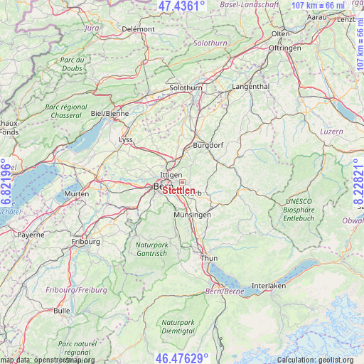
Stettlen GPS coordinates[2]
46° 57' 30.06" North, 7° 31' 30.288" East
| Map corner | latitude | longitude |
|---|---|---|
| Upper-left | 47.4361°, | 6.82196° |
| Center: | 46.95835°, | 7.52508° |
| Lower-right: | 46.47629°, | 8.22821° |
| Map W x H: | 106.7×106.7 km | = 66.3×66.3mi |
| max Lat: | 47.76737° ⇑66.3% North |
| Stettlen: | 46.95835° |
| min Lat: | ⇓33.7% South 45.83203° |
| min Long | Stettlen | max Long |
| 5.97153° | 7.52508° | 10.44624° |
| W 25.2%⇐ | ⇒74.8% E |
Elevation
Elevation of Stettlen is 563 m = 1847 ft, and this is 4.8 m = 16 ft above average elevation for this country.
| Max E: |
1845 m = 6053 ft | 31.9% |
| Stettlen | 563 m 1847 ft | |
| Avg. | 558.2 m = 1831 ft | |
Min E: |
197 m = 646 ft | 68.1% |
See also: Switzerland elevation on elevation.city.
Geographical zone
Stettlen is located in North temperate zone (between Tropic of Cancer and the Arctic Circle). Distance of this North polar circle is 2179.9 km =1354.5 mi to North.| Distance of | km | miles | from Stettlen |
|---|---|---|---|
| North Pole | 4785.8 | 2973.8 | to North |
| Arctic Circle | 2179.9 | 1354.5 | to North |
| Tropic Cancer | 2615.4 | 1625.1 | to South |
| Equator | 5221.3 | 3244.4 | to South |


Nearby cities:
15 places around Stettlen: (largest is in red/bold)
• Belp
7.7 km =4.8 mi,  195°
195°
• Bern
6 km =3.7 mi,  259°
259°
• Biglen
8.4 km =5.2 mi,  115°
115°
• Bolligen
2.8 km =1.7 mi,  311°
311°
• Bäriswil
6.8 km =4.2 mi,  1°
1°
• Kehrsatz
6.7 km =4.2 mi,  217°
217°
• Krauchthal
6.5 km =4 mi,  28°
28°
• Muri
4.2 km =2.6 mi, 224°
• Ostermundigen
2.7 km =1.7 mi,  266°
266°
• Rubigen
6.8 km =4.2 mi,  167°
167°
• Urtenen
7.8 km =4.8 mi,  346°
346°
• Vechigen
3 km =1.9 mi, 116°
• Walkringen
7.3 km =4.5 mi,  98°
98°
• Worb
4.3 km =2.7 mi,  137°
137°
• Zollikofen
6.8 km =4.2 mi, 311°
Sources, notices
• [Note1] Compared only with cities in Switzerland existing in our database
• [Src1] Map data: © OpenStreetMap contributors (CC-BY-SA)
• [Src2] Other city data from geonames.org with taken over terms of usage.
• [Src3] Geographical zone / Annual Mean Temperature by Robert A. Rohde @ Wikipedia
