Speicher geodata
Speicher (Appenzell Ausserrhoden) is a populated place; located in Switzerland in Europe/Zurich (GMT+2) time zone. With population of 3,985 people, there are 445 cities with bigger population in this country. Compared to other cities in Switzerland, 75.9% of cities are located further ↓South; 95.8% of cities are located further ←West and 93.1% of cities have lower elevation than Speicher. Note1
Administrative division(s):
- Level 1: Appenzell Ausserrhoden
- Level 2: Bezirk Mittelland
- Level 3: Speicher


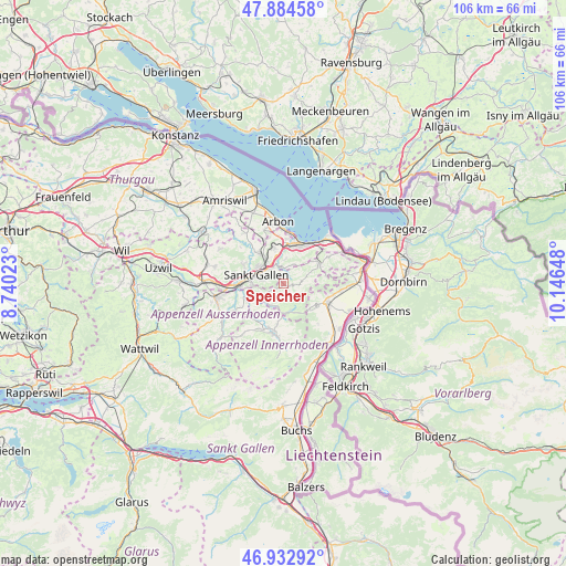
Speicher GPS coordinates[2]
47° 24' 39.24" North, 9° 26' 36.06" East
| Map corner | latitude | longitude |
|---|---|---|
| Upper-left | 47.88458°, | 8.74023° |
| Center: | 47.4109°, | 9.44335° |
| Lower-right: | 46.93292°, | 10.14648° |
| Map W x H: | 105.8×105.8 km | = 65.7×65.7mi |
| max Lat: | 47.76737° ⇑24.1% North |
| Speicher: | 47.4109° |
| min Lat: | ⇓75.9% South 45.83203° |
| min Long | Speicher | max Long |
| 5.97153° | 9.44335° | 10.44624° |
| W 95.8%⇐ | ⇒4.2% E |
Elevation
Elevation of Speicher is 927 m = 3041 ft, and this is 368.8 m = 1210 ft above average elevation for this country.
| Max E: |
1845 m = 6053 ft | 6.9% |
| Speicher | 927 m 3041 ft | |
| Avg. | 558.2 m = 1831 ft | |
Min E: |
197 m = 646 ft | 93.1% |
See also: Switzerland elevation on elevation.city.
Geographical zone
Speicher is located in North temperate zone (between Tropic of Cancer and the Arctic Circle). Distance of this North polar circle is 2129.6 km =1323.3 mi to North.| Distance of | km | miles | from Speicher |
|---|---|---|---|
| North Pole | 4735.5 | 2942.5 | to North |
| Arctic Circle | 2129.6 | 1323.3 | to North |
| Tropic Cancer | 2665.7 | 1656.4 | to South |
| Equator | 5271.6 | 3275.6 | to South |


Nearby cities:
15 places around Speicher: (largest is in red/bold)
• Altstätten
8.7 km =5.4 mi,  115°
115°
• Bühler
4.4 km =2.7 mi,  198°
198°
• Eggersriet
4 km =2.5 mi,  29°
29°
• Gais
5.5 km =3.4 mi,  172°
172°
• Goldach
7.2 km =4.5 mi,  14°
14°
• Haslen
7.3 km =4.5 mi,  230°
230°
• Heiden
7.6 km =4.7 mi,  62°
62°
• Mörschwil
6.9 km =4.3 mi,  346°
346°
• Oberegg
8.3 km =5.2 mi,  78°
78°
• Rehetobel
3.4 km =2.1 mi, 60°
• Rorschach
8.3 km =5.2 mi, 25°
• Sankt Gallen
5.4 km =3.4 mi,  285°
285°
• Teufen
4.8 km =3 mi,  242°
242°
• Trogen
1.7 km =1.1 mi,  101°
101°
• Wittenbach
7.1 km =4.4 mi,  322°
322°
Sources, notices
• [Note1] Compared only with cities in Switzerland existing in our database
• [Src1] Map data: © OpenStreetMap contributors (CC-BY-SA)
• [Src2] Other city data from geonames.org with taken over terms of usage.
• [Src3] Geographical zone / Annual Mean Temperature by Robert A. Rohde @ Wikipedia
