Haslen geodata
Haslen (Appenzell Innerrhoden) is a seat of a second-order administrative division; located in Switzerland in Europe/Zurich (GMT+2) time zone. With population of 638 people, there are 1660 cities with bigger population in this country. Compared to other cities in Switzerland, 67.4% of cities are located further ↓South; 94.7% of cities are located further ←West and 85.6% of cities have lower elevation than Haslen. Note1
Administrative division(s):
- Level 1: Appenzell Innerrhoden
- Level 2: Appenzell Inner Rhodes
- Level 3: Schlatt-Haslen


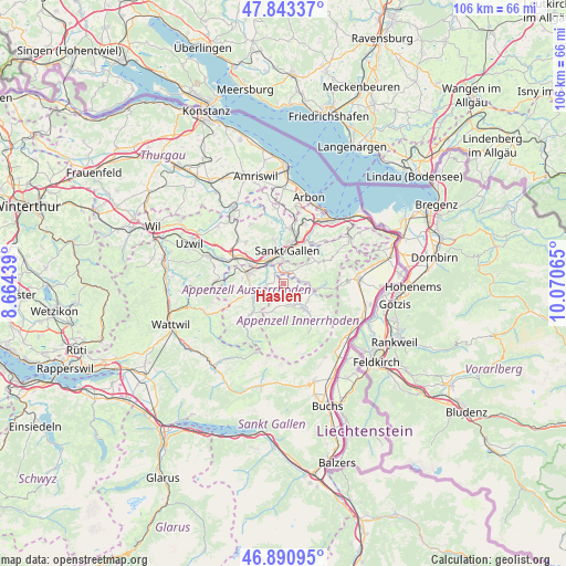
Haslen GPS coordinates[2]
47° 22' 9.516" North, 9° 22' 3.072" East
| Map corner | latitude | longitude |
|---|---|---|
| Upper-left | 47.84337°, | 8.66439° |
| Center: | 47.36931°, | 9.36752° |
| Lower-right: | 46.89095°, | 10.07065° |
| Map W x H: | 105.9×105.9 km | = 65.8×65.8mi |
| max Lat: | 47.76737° ⇑32.6% North |
| Haslen: | 47.36931° |
| min Lat: | ⇓67.4% South 45.83203° |
| min Long | Haslen | max Long |
| 5.97153° | 9.36752° | 10.44624° |
| W 94.7%⇐ | ⇒5.3% E |
Elevation
Elevation of Haslen is 745 m = 2444 ft, and this is 186.8 m = 613 ft above average elevation for this country.
| Max E: |
1845 m = 6053 ft | 14.4% |
| Haslen | 745 m 2444 ft | |
| Avg. | 558.2 m = 1831 ft | |
Min E: |
197 m = 646 ft | 85.6% |
See also: Switzerland elevation on elevation.city.
Geographical zone
Haslen is located in North temperate zone (between Tropic of Cancer and the Arctic Circle). Distance of this North polar circle is 2134.2 km =1326.1 mi to North.| Distance of | km | miles | from Haslen |
|---|---|---|---|
| North Pole | 4740.1 | 2945.4 | to North |
| Arctic Circle | 2134.2 | 1326.1 | to North |
| Tropic Cancer | 2661.1 | 1653.5 | to South |
| Equator | 5267 | 3272.8 | to South |


Nearby cities:
15 places around Haslen: (largest is in red/bold)
• Abtwil
7 km =4.3 mi,  330°
330°
• Appenzell
5.3 km =3.3 mi,  143°
143°
• Bühler
4.4 km =2.7 mi,  83°
83°
• Gais
6.5 km =4 mi,  97°
97°
• Gonten
4.9 km =3 mi,  198°
198°
• Gossau
9.9 km =6.2 mi,  301°
301°
• Herisau
6.9 km =4.3 mi,  285°
285°
• Hundwil
3.7 km =2.3 mi,  261°
261°
• Sankt Gallen
6.1 km =3.8 mi,  5°
5°
• Schwellbrunn
9.1 km =5.7 mi, 258°
• Speicher
7.3 km =4.5 mi,  50°
50°
• Teufen
2.8 km =1.7 mi,  30°
30°
• Trogen
8.5 km =5.3 mi,  59°
59°
• Urnäsch
8.8 km =5.5 mi,  228°
228°
• Waldstatt
6.5 km =4 mi, 257°
Sources, notices
• [Note1] Compared only with cities in Switzerland existing in our database
• [Src1] Map data: © OpenStreetMap contributors (CC-BY-SA)
• [Src2] Other city data from geonames.org with taken over terms of usage.
• [Src3] Geographical zone / Annual Mean Temperature by Robert A. Rohde @ Wikipedia
