Wittenbach geodata
Wittenbach (Saint Gallen) is a populated place; located in Switzerland in Europe/Zurich (GMT+2) time zone. With population of 8,542 people, there are 188 cities with bigger population in this country. Compared to other cities in Switzerland, 83.8% of cities are located further ↓South; 95% of cities are located further ←West and 74.9% of cities have lower elevation than Wittenbach. Note1


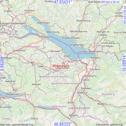
Wittenbach GPS coordinates[2]
47° 27' 39.888" North, 9° 23' 9.636" East
| Map corner | latitude | longitude |
|---|---|---|
| Upper-left | 47.93431°, | 8.68289° |
| Center: | 47.46108°, | 9.38601° |
| Lower-right: | 46.98355°, | 10.08914° |
| Map W x H: | 105.7×105.7 km | = 65.7×65.7mi |
| max Lat: | 47.76737° ⇑16.2% North |
| Wittenbach: | 47.46108° |
| min Lat: | ⇓83.8% South 45.83203° |
| min Long | Wittenbach | max Long |
| 5.97153° | 9.38601° | 10.44624° |
| W 95%⇐ | ⇒5% E |
Elevation
Elevation of Wittenbach is 615 m = 2018 ft, and this is 56.8 m = 186 ft above average elevation for this country.
| Max E: |
1845 m = 6053 ft | 25.1% |
| Wittenbach | 615 m 2018 ft | |
| Avg. | 558.2 m = 1831 ft | |
Min E: |
197 m = 646 ft | 74.9% |
See also: Switzerland elevation on elevation.city.
Geographical zone
Wittenbach is located in North temperate zone (between Tropic of Cancer and the Arctic Circle). Distance of this North polar circle is 2124 km =1319.8 mi to North.| Distance of | km | miles | from Wittenbach |
|---|---|---|---|
| North Pole | 4729.9 | 2939 | to North |
| Arctic Circle | 2124 | 1319.8 | to North |
| Tropic Cancer | 2671.3 | 1659.9 | to South |
| Equator | 5277.2 | 3279.1 | to South |


Nearby cities:
15 places around Wittenbach: (largest is in red/bold)
• Abtwil
6.4 km =4 mi,  229°
229°
• Arbon
7.1 km =4.4 mi,  29°
29°
• Eggersriet
6.6 km =4.1 mi,  108°
108°
• Goldach
6.3 km =3.9 mi,  76°
76°
• Horn
6.8 km =4.2 mi,  57°
57°
• Häggenschwil
4.8 km =3 mi,  320°
320°
• Muolen
8.1 km =5 mi,  325°
325°
• Mörschwil
3 km =1.9 mi,  68°
68°
• Rehetobel
8.3 km =5.2 mi,  118°
118°
• Roggwil
4.4 km =2.7 mi,  9°
9°
• Rorschach
8.1 km =5 mi, 76°
• Sankt Gallen
4.2 km =2.6 mi,  191°
191°
• Speicher
7.1 km =4.4 mi,  142°
142°
• Teufen
7.8 km =4.8 mi,  179°
179°
• Waldkirch
7.5 km =4.7 mi,  276°
276°
Sources, notices
• [Note1] Compared only with cities in Switzerland existing in our database
• [Src1] Map data: © OpenStreetMap contributors (CC-BY-SA)
• [Src2] Other city data from geonames.org with taken over terms of usage.
• [Src3] Geographical zone / Annual Mean Temperature by Robert A. Rohde @ Wikipedia
