Lachen geodata
Lachen (Schwyz) is a seat of a second-order administrative division; located in Switzerland in Europe/Zurich (GMT+2) time zone. With population of 6,685 people, there are 240 cities with bigger population in this country. Compared to other cities in Switzerland, 53.4% of cities are located further ↑North; 83.2% of cities are located further ←West and 83.8% of cities have higher elevation than Lachen. Note1


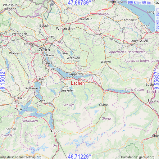
Lachen GPS coordinates[2]
47° 11' 32.064" North, 8° 51' 11.664" East
| Map corner | latitude | longitude |
|---|---|---|
| Upper-left | 47.66789°, | 8.15012° |
| Center: | 47.19224°, | 8.85324° |
| Lower-right: | 46.71229°, | 9.55637° |
| Map W x H: | 106.3×106.3 km | = 66.1×66.1mi |
| max Lat: | 47.76737° ⇑53.4% North |
| Lachen: | 47.19224° |
| min Lat: | ⇓46.6% South 45.83203° |
| min Long | Lachen | max Long |
| 5.97153° | 8.85324° | 10.44624° |
| W 83.2%⇐ | ⇒16.8% E |
Elevation
Elevation of Lachen is 413 m = 1355 ft, and this is 145.2 m = 476 ft below average elevation for this country.
| Max E: |
1845 m = 6053 ft | 83.8% |
| Avg. | 558.2 m = 1831 ft | |
| Lachen | 413 m = 1355 ft | |
Min E: |
197 m = 646 ft | 16.2% |
See also: Switzerland elevation on elevation.city.
Geographical zone
Lachen is located in North temperate zone (between Tropic of Cancer and the Arctic Circle). Distance of this North polar circle is 2153.9 km =1338.4 mi to North.| Distance of | km | miles | from Lachen |
|---|---|---|---|
| North Pole | 4759.8 | 2957.6 | to North |
| Arctic Circle | 2153.9 | 1338.4 | to North |
| Tropic Cancer | 2641.4 | 1641.3 | to South |
| Equator | 5247.3 | 3260.5 | to South |


Nearby cities:
15 places around Lachen: (largest is in red/bold)
• Altendorf
1.2 km =0.7 mi,  257°
257°
• Eschenbach
7.4 km =4.6 mi,  44°
44°
• Feusisberg
8 km =5 mi,  265°
265°
• Freienbach
7.3 km =4.5 mi,  281°
281°
• Jona
4.3 km =2.7 mi,  345°
345°
• Pfäffikon
5.8 km =3.6 mi, 279°
• Rapperswil
4.4 km =2.7 mi,  327°
327°
• Rüti
7.1 km =4.4 mi,  1°
1°
• Rüti / Dorfzentrum, Südl. Teil
6.8 km =4.2 mi, 2°
• Rüti / Oberdorf
7.5 km =4.7 mi,  6°
6°
• Rüti / Westlicher Dorfteil
7.1 km =4.4 mi, 354°
• Schmerikon
8.1 km =5 mi,  62°
62°
• Schübelbach
6 km =3.7 mi,  110°
110°
• Siebnen
3.9 km =2.4 mi,  120°
120°
• Tuggen
7.3 km =4.5 mi,  80°
80°
Sources, notices
• [Note1] Compared only with cities in Switzerland existing in our database
• [Src1] Map data: © OpenStreetMap contributors (CC-BY-SA)
• [Src2] Other city data from geonames.org with taken over terms of usage.
• [Src3] Geographical zone / Annual Mean Temperature by Robert A. Rohde @ Wikipedia
