Puyehue geodata
Puyehue (Los Ríos Region) is a populated place; located in Chile in America/Santiago (GMT-4) time zone. With population of 3,932 people, there are 119 cities with bigger population in this country. Compared to other cities in Chile, 82.8% of cities are located further ↑North; 71% of cities are located further →East and 61.4% of cities have lower elevation than Puyehue. Note1


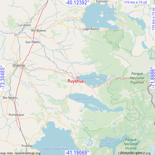
Puyehue GPS coordinates[2]
40° 39' 33.984" South, 72° 36' 6.192" West
| Map corner | latitude | longitude |
|---|---|---|
| Upper-left | -40.12392°, | -73.30485° |
| Center: | -40.65944°, | -72.60172° |
| Lower-right: | -41.19069°, | -71.8986° |
| Map W x H: | 118.6×118.6 km | = 73.7×73.7mi |
| max Lat: | -18.19821° ⇑82.8% North |
| Puyehue: | -40.65944° |
| min Lat: | ⇓17.2% South -54.93355° |
| min Long | Puyehue | max Long |
| -109.42438° | -72.60172° | -67.60963° |
| W 29%⇐ | ⇒71% E |
Elevation
Elevation of Puyehue is 211 m = 692 ft, and this is 62 m = 203 ft below average elevation for this country.
| Max E: |
3544 m = 11627 ft | 38.6% |
| Avg. | 273 m = 896 ft | |
| Puyehue | 211 m = 692 ft | |
Min E: |
1 m = 3 ft | 61.4% |
See also: Chile elevation on elevation.city.
Geographical zone
Puyehue is located in South temperate zone (between Tropic of Capricorn and the Antarctic Circle). Distance of this Southern Tropic circle is 1915 km =1189.9 mi to North.| Distance of | km | miles | from Puyehue |
|---|---|---|---|
| Equator | 4520.9 | 2809.2 | to North |
| Tropic Capricorn | 1915 | 1189.9 | to North |
| Antarctic Circle | 2880.3 | 1789.7 | to South |
| South Pole | 5486.2 | 3409 | to South |


Nearby cities:
15 places around Puyehue: (largest is in red/bold)
• Calbuco
131.5 km =81.7 mi,  199°
199°
• Corral
111 km =69 mi,  320°
320°
• La Ensenada
61.2 km =38 mi,  175°
175°
• La Unión
57.5 km =35.7 mi, 315°
• Las Animas
108.1 km =67.2 mi,  331°
331°
• Las Gaviotas
101.2 km =62.9 mi, 330°
• Osorno
45.9 km =28.5 mi,  281°
281°
• Panguipulli
115.2 km =71.6 mi,  11°
11°
• Puerto Montt
94.5 km =58.7 mi, 197°
• Puerto Varas
80.1 km =49.8 mi, 203°
• Purranque
54.7 km =34 mi,  238°
238°
• Río Bueno
46.9 km =29.1 mi, 320°
• Santa Rosa
53.8 km =33.4 mi,  3°
3°
• Valdivia
108.7 km =67.5 mi, 329°
• Villa Europa
105.9 km =65.8 mi, 329°
Sources, notices
• [Note1] Compared only with cities in Chile existing in our database
• [Src1] Map data: © OpenStreetMap contributors (CC-BY-SA)
• [Src2] Other city data from geonames.org with taken over terms of usage.
• [Src3] Geographical zone / Annual Mean Temperature by Robert A. Rohde @ Wikipedia
