Purranque geodata
Purranque (Los Lagos Region) is a populated place; located in Chile in America/Santiago (GMT-4) time zone. With population of 13,619 people, there are 101 cities with bigger population in this country. Compared to other cities in Chile, 83.4% of cities are located further ↑North; 89% of cities are located further →East and 53.1% of cities have higher elevation than Purranque. Note1
Administrative division(s):
- Level 1: Los Lagos Region
- Level 2: Provincia de Osorno
- Level 3: Purranque


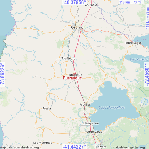
Purranque GPS coordinates[2]
40° 54' 46.98" South, 73° 9' 32.868" West
| Map corner | latitude | longitude |
|---|---|---|
| Upper-left | -40.37956°, | -73.86226° |
| Center: | -40.91305°, | -73.15913° |
| Lower-right: | -41.44227°, | -72.45601° |
| Map W x H: | 118.2×118.2 km | = 73.4×73.4mi |
| max Lat: | -18.19821° ⇑83.4% North |
| Purranque: | -40.91305° |
| min Lat: | ⇓16.6% South -54.93355° |
| min Long | Purranque | max Long |
| -109.42438° | -73.15913° | -67.60963° |
| W 11%⇐ | ⇒89% E |
Elevation
Elevation of Purranque is 119 m = 390 ft, and this is 154 m = 505 ft below average elevation for this country.
| Max E: |
3544 m = 11627 ft | 53.1% |
| Avg. | 273 m = 896 ft | |
| Purranque | 119 m = 390 ft | |
Min E: |
1 m = 3 ft | 46.9% |
See also: Chile elevation on elevation.city.
Geographical zone
Purranque is located in South temperate zone (between Tropic of Capricorn and the Antarctic Circle). Distance of this Southern Tropic circle is 1943.2 km =1207.4 mi to North.| Distance of | km | miles | from Purranque |
|---|---|---|---|
| Equator | 4549.1 | 2826.7 | to North |
| Tropic Capricorn | 1943.2 | 1207.4 | to North |
| Antarctic Circle | 2852.1 | 1772.2 | to South |
| South Pole | 5458 | 3391.4 | to South |


Nearby cities:
15 places around Purranque: (largest is in red/bold)
• Ancud
119.8 km =74.4 mi,  207°
207°
• Calbuco
95.7 km =59.5 mi,  178°
178°
• Corral
116.4 km =72.3 mi,  348°
348°
• La Ensenada
61.5 km =38.2 mi,  122°
122°
• La Unión
69.2 km =43 mi,  5°
5°
• Las Animas
122.9 km =76.4 mi,  357°
357°
• Las Gaviotas
116.4 km =72.3 mi, 358°
• Osorno
37.8 km =23.5 mi,  3°
3°
• Puerto Montt
64.5 km =40.1 mi,  163°
163°
• Puerto Varas
47.5 km =29.5 mi, 162°
• Puyehue
54.7 km =34 mi,  58°
58°
• Río Bueno
66.5 km =41.3 mi, 14°
• Santa Rosa
96.3 km =59.8 mi,  31°
31°
• Valdivia
122.4 km =76.1 mi, 356°
• Villa Europa
119.6 km =74.3 mi, 356°
Sources, notices
• [Note1] Compared only with cities in Chile existing in our database
• [Src1] Map data: © OpenStreetMap contributors (CC-BY-SA)
• [Src2] Other city data from geonames.org with taken over terms of usage.
• [Src3] Geographical zone / Annual Mean Temperature by Robert A. Rohde @ Wikipedia
