Xianyang geodata
Xianyang (Fujian) is a seat of a fourth-order administrative division; located in China in Asia/Shanghai (GMT+8) time zone. In our database, there are 1268 cities with bigger population. Compared to other cities in China, 73.7% of cities are located further ↑North; 73.4% of cities are located further ←West and 61.5% of cities have lower elevation than Xianyang. Note1


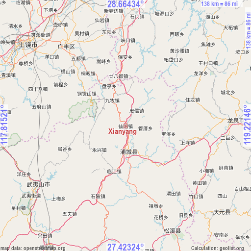
Xianyang GPS coordinates[2]
28° 2' 44.088" North, 118° 31' 5.988" East
| Map corner | latitude | longitude |
|---|---|---|
| Upper-left | 28.66434°, | 117.81521° |
| Center: | 28.04558°, | 118.51833° |
| Lower-right: | 27.42324°, | 119.22146° |
| Map W x H: | 138×138 km | = 85.7×85.7mi |
| max Lat: | 53.31946° ⇑73.7% North |
| Xianyang: | 28.04558° |
| min Lat: | ⇓26.3% South 18.22056° |
| min Long | Xianyang | max Long |
| 75.07348° | 118.51833° | 134.28917° |
| W 73.4%⇐ | ⇒26.6% E |
Elevation
Elevation of Xianyang is 276 m = 906 ft, and this is 208.8 m = 685 ft below average elevation for this country.
| Max E: |
5622 m = 18445 ft | 38.5% |
| Avg. | 484.8 m = 1591 ft | |
| Xianyang | 276 m = 906 ft | |
Min E: |
-3 m = -10 ft | 61.5% |
See also: China elevation on elevation.city.
Geographical zone
Xianyang is located in North temperate zone (between Tropic of Cancer and the Arctic Circle). Distance of this Northern Tropic circle is 512.5 km =318.5 mi to South.| Distance of | km | miles | from Xianyang |
|---|---|---|---|
| North Pole | 6888.7 | 4280.4 | to North |
| Arctic Circle | 4282.8 | 2661.2 | to North |
| Tropic Cancer | 512.5 | 318.5 | to South |
| Equator | 3118.4 | 1937.7 | to South |


Nearby cities:
15 places around Xianyang: (largest is in red/bold)
• Badu
41.2 km =25.6 mi,  100°
100°
• Fuling
20.7 km =12.9 mi,  144°
144°
• Liantang
13.5 km =8.4 mi,  180°
180°
• Lingdi
28 km =17.4 mi,  309°
309°
• Linjiang
25.4 km =15.8 mi,  194°
194°
• Pucheng
13.7 km =8.5 mi,  173°
173°
• Quanbo
41.4 km =25.7 mi,  334°
334°
• Shangyang
35.3 km =21.9 mi, 104°
• Shanxia
34.8 km =21.6 mi,  217°
217°
• Shatian
40 km =24.9 mi,  324°
324°
• Shuibeijie
39.4 km =24.5 mi, 172°
• Songfeng
37 km =23 mi,  340°
340°
• Tongfan
35.6 km =22.1 mi, 325°
• Wan’an
14.8 km =9.2 mi, 166°
• Yongxing
19.6 km =12.2 mi,  228°
228°
Sources, notices
• [Note1] Compared only with cities in China existing in our database
• [Src1] Map data: © OpenStreetMap contributors (CC-BY-SA)
• [Src2] Other city data from geonames.org with taken over terms of usage.
• [Src3] Geographical zone / Annual Mean Temperature by Robert A. Rohde @ Wikipedia
