Tianpeng geodata
Tianpeng (Sichuan) is a seat of a third-order administrative division; located in China in Asia/Shanghai (GMT+8) time zone. With population of 60,797 people, there are 721 cities with bigger population in this country. Compared to other cities in China, 54.7% of cities are located further ↓South; 90.4% of cities are located further →East and 77.9% of cities have lower elevation than Tianpeng. Note1


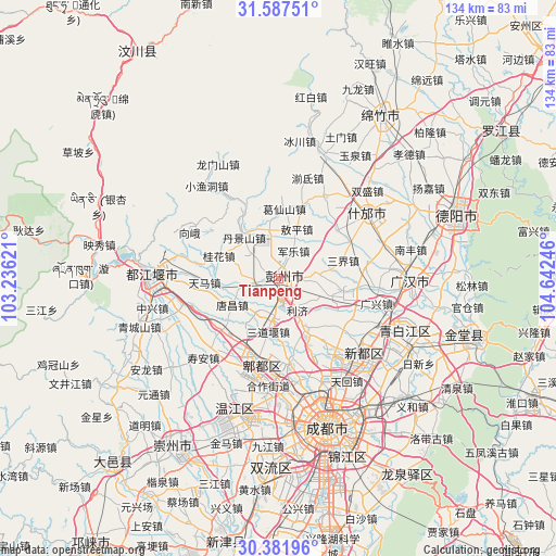
Tianpeng GPS coordinates[2]
30° 59' 11.904" North, 103° 56' 21.588" East
| Map corner | latitude | longitude |
|---|---|---|
| Upper-left | 31.58751°, | 103.23621° |
| Center: | 30.98664°, | 103.93933° |
| Lower-right: | 30.38196°, | 104.64246° |
| Map W x H: | 134×134 km | = 83.3×83.3mi |
| max Lat: | 53.31946° ⇑45.3% North |
| Tianpeng: | 30.98664° |
| min Lat: | ⇓54.7% South 18.22056° |
| min Long | Tianpeng | max Long |
| 75.07348° | 103.93933° | 134.28917° |
| W 9.6%⇐ | ⇒90.4% E |
Elevation
Elevation of Tianpeng is 611 m = 2005 ft, and this is 126.2 m = 414 ft above average elevation for this country.
| Max E: |
5622 m = 18445 ft | 22.1% |
| Tianpeng | 611 m 2005 ft | |
| Avg. | 484.8 m = 1591 ft | |
Min E: |
-3 m = -10 ft | 77.9% |
See also: Tianpeng elevation on elevation.city.
Geographical zone
Tianpeng is located in North temperate zone (between Tropic of Cancer and the Arctic Circle). Distance of this Northern Tropic circle is 839.5 km =521.6 mi to South.| Distance of | km | miles | from Tianpeng |
|---|---|---|---|
| North Pole | 6561.7 | 4077.3 | to North |
| Arctic Circle | 3955.8 | 2458 | to North |
| Tropic Cancer | 839.5 | 521.6 | to South |
| Equator | 3445.4 | 2140.9 | to South |


Nearby cities:
15 places around Tianpeng: (largest is in red/bold)
• Chengdu
37.6 km =23.4 mi,  161°
161°
• Deyang
45.1 km =28 mi,  69°
69°
• Dongsheng
45.9 km =28.5 mi,  182°
182°
• Fangting
26.7 km =16.6 mi,  54°
54°
• Guangsheng
37.9 km =23.5 mi,  222°
222°
• Jiannan
46.6 km =29 mi,  31°
31°
• Liucheng
33.3 km =20.7 mi,  196°
196°
• Longquan
56.8 km =35.3 mi,  146°
146°
• Luocheng
32.6 km =20.3 mi,  91°
91°
• Luojiang
64.4 km =40 mi,  56°
56°
• Pitong
20.4 km =12.7 mi, 195°
• Xindu
27.7 km =17.2 mi,  131°
131°
• Xipu
25.7 km =16 mi,  173°
173°
• Zhaozhen
49.5 km =30.8 mi,  107°
107°
• Zitong
35 km =21.7 mi, 221°
Sources, notices
• [Note1] Compared only with cities in China existing in our database
• [Src1] Map data: © OpenStreetMap contributors (CC-BY-SA)
• [Src2] Other city data from geonames.org with taken over terms of usage.
• [Src3] Geographical zone / Annual Mean Temperature by Robert A. Rohde @ Wikipedia
