Deyang geodata
Deyang (Sichuan) is a seat of a third-order administrative division; located in China in Asia/Shanghai (GMT+8) time zone. With population of 152,194 people, there are 292 cities with bigger population in this country. Compared to other cities in China, 55.8% of cities are located further ↓South; 89.9% of cities are located further →East and 74% of cities have lower elevation than Deyang. Note1


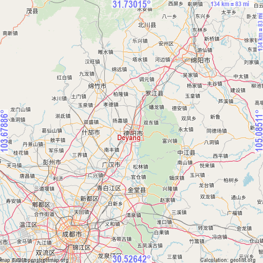
Deyang GPS coordinates[2]
31° 7' 48.684" North, 104° 22' 55.128" East
| Map corner | latitude | longitude |
|---|---|---|
| Upper-left | 31.73015°, | 103.67886° |
| Center: | 31.13019°, | 104.38198° |
| Lower-right: | 30.52642°, | 105.08511° |
| Map W x H: | 133.8×133.8 km | = 83.1×83.1mi |
| max Lat: | 53.31946° ⇑44.2% North |
| Deyang: | 31.13019° |
| min Lat: | ⇓55.8% South 18.22056° |
| min Long | Deyang | max Long |
| 75.07348° | 104.38198° | 134.28917° |
| W 10.1%⇐ | ⇒89.9% E |
Elevation
Elevation of Deyang is 501 m = 1644 ft, and this is 16.2 m = 53 ft above average elevation for this country.
| Max E: |
5622 m = 18445 ft | 26% |
| Deyang | 501 m 1644 ft | |
| Avg. | 484.8 m = 1591 ft | |
Min E: |
-3 m = -10 ft | 74% |
See also: Deyang elevation on elevation.city.
Geographical zone
Deyang is located in North temperate zone (between Tropic of Cancer and the Arctic Circle). Distance of this Northern Tropic circle is 855.4 km =531.5 mi to South.| Distance of | km | miles | from Deyang |
|---|---|---|---|
| North Pole | 6545.7 | 4067.3 | to North |
| Arctic Circle | 3939.8 | 2448.1 | to North |
| Tropic Cancer | 855.4 | 531.5 | to South |
| Equator | 3461.4 | 2150.8 | to South |


Nearby cities:
15 places around Deyang: (largest is in red/bold)
• Chengdu
59.7 km =37.1 mi,  210°
210°
• Fangting
20.5 km =12.7 mi,  269°
269°
• Huagai
49.1 km =30.5 mi,  19°
19°
• Jiannan
29.6 km =18.4 mi,  323°
323°
• Kaijiang
29.6 km =18.4 mi,  109°
109°
• Longquan
64.2 km =39.9 mi,  189°
189°
• Luocheng
19.3 km =12 mi, 210°
• Luojiang
22.7 km =14.1 mi,  31°
31°
• Mianyang
47.1 km =29.3 mi,  37°
37°
• Pitong
59.5 km =37 mi,  233°
233°
• Tianpeng
45.1 km =28 mi,  249°
249°
• Xindu
40.4 km =25.1 mi, 212°
• Xipu
57.1 km =35.5 mi,  223°
223°
• Yongchang
59.8 km =37.2 mi,  5°
5°
• Zhaozhen
30.9 km =19.2 mi,  170°
170°
Sources, notices
• [Note1] Compared only with cities in China existing in our database
• [Src1] Map data: © OpenStreetMap contributors (CC-BY-SA)
• [Src2] Other city data from geonames.org with taken over terms of usage.
• [Src3] Geographical zone / Annual Mean Temperature by Robert A. Rohde @ Wikipedia
