Siqian geodata
Siqian (Guangdong) is a seat of a fourth-order administrative division; located in China in Asia/Shanghai (GMT+8) time zone. In our database, there are 1268 cities with bigger population. Compared to other cities in China, 87.8% of cities are located further ↑North; 50.8% of cities are located further →East and 57.6% of cities have lower elevation than Siqian. Note1


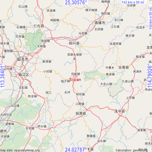
Siqian GPS coordinates[2]
24° 40' 6.42" North, 114° 5' 13.668" East
| Map corner | latitude | longitude |
|---|---|---|
| Upper-left | 25.30576°, | 113.38401° |
| Center: | 24.66845°, | 114.08713° |
| Lower-right: | 24.02787°, | 114.79026° |
| Map W x H: | 142.1×142.1 km | = 88.3×88.3mi |
| max Lat: | 53.31946° ⇑87.8% North |
| Siqian: | 24.66845° |
| min Lat: | ⇓12.2% South 18.22056° |
| min Long | Siqian | max Long |
| 75.07348° | 114.08713° | 134.28917° |
| W 49.2%⇐ | ⇒50.8% E |
Elevation
Elevation of Siqian is 231 m = 758 ft, and this is 253.8 m = 833 ft below average elevation for this country.
| Max E: |
5622 m = 18445 ft | 42.4% |
| Avg. | 484.8 m = 1591 ft | |
| Siqian | 231 m = 758 ft | |
Min E: |
-3 m = -10 ft | 57.6% |
See also: China elevation on elevation.city.
Geographical zone
Siqian is located in North temperate zone (between Tropic of Cancer and the Arctic Circle). Distance of this Northern Tropic circle is 137 km =85.1 mi to South.| Distance of | km | miles | from Siqian |
|---|---|---|---|
| North Pole | 7264.2 | 4513.8 | to North |
| Arctic Circle | 4658.3 | 2894.5 | to North |
| Tropic Cancer | 137 | 85.1 | to South |
| Equator | 2742.9 | 1704.4 | to South |


Nearby cities:
15 places around Siqian: (largest is in red/bold)
• Aizi
11.4 km =7.1 mi,  240°
240°
• Bazi
17.1 km =10.6 mi,  169°
169°
• Chengnan
29.1 km =18.1 mi,  353°
353°
• Dajishan
28.6 km =17.8 mi,  104°
104°
• Duheng
22 km =13.7 mi,  59°
59°
• Dungang
28.1 km =17.5 mi,  8°
8°
• Fengwan
31.7 km =19.7 mi,  297°
297°
• Hongling
25.5 km =15.8 mi,  210°
210°
• Jiangwei
26.7 km =16.6 mi, 171°
• Luoba
25.3 km =15.7 mi,  29°
29°
• Shendushui
16.8 km =10.4 mi,  0°
0°
• Shensuo
30.2 km =18.8 mi,  338°
338°
• Shixing
31.2 km =19.4 mi,  356°
356°
• Taiping
31.3 km =19.4 mi, 355°
• Xiaokeng
28.1 km =17.5 mi,  281°
281°
Sources, notices
• [Note1] Compared only with cities in China existing in our database
• [Src1] Map data: © OpenStreetMap contributors (CC-BY-SA)
• [Src2] Other city data from geonames.org with taken over terms of usage.
• [Src3] Geographical zone / Annual Mean Temperature by Robert A. Rohde @ Wikipedia
