Chengnan geodata
Chengnan (Guangdong) is a seat of a fourth-order administrative division; located in China in Asia/Shanghai (GMT+8) time zone. In our database, there are 1268 cities with bigger population. Compared to other cities in China, 86.7% of cities are located further ↑North; 51% of cities are located further →East and 58.6% of cities have higher elevation than Chengnan. Note1


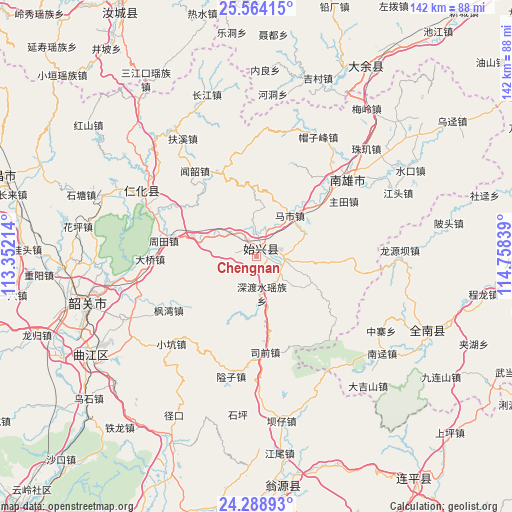
Chengnan GPS coordinates[2]
24° 55' 41.484" North, 114° 3' 18.936" East
| Map corner | latitude | longitude |
|---|---|---|
| Upper-left | 25.56415°, | 113.35214° |
| Center: | 24.92819°, | 114.05526° |
| Lower-right: | 24.28893°, | 114.75839° |
| Map W x H: | 141.8×141.8 km | = 88.1×88.1mi |
| max Lat: | 53.31946° ⇑86.7% North |
| Chengnan: | 24.92819° |
| min Lat: | ⇓13.3% South 18.22056° |
| min Long | Chengnan | max Long |
| 75.07348° | 114.05526° | 134.28917° |
| W 49%⇐ | ⇒51% E |
Elevation
Elevation of Chengnan is 107 m = 351 ft, and this is 377.8 m = 1240 ft below average elevation for this country.
| Max E: |
5622 m = 18445 ft | 58.6% |
| Avg. | 484.8 m = 1591 ft | |
| Chengnan | 107 m = 351 ft | |
Min E: |
-3 m = -10 ft | 41.4% |
See also: China elevation on elevation.city.
Geographical zone
Chengnan is located in North temperate zone (between Tropic of Cancer and the Arctic Circle). Distance of this Northern Tropic circle is 165.8 km =103 mi to South.| Distance of | km | miles | from Chengnan |
|---|---|---|---|
| North Pole | 7235.3 | 4495.8 | to North |
| Arctic Circle | 4629.4 | 2876.6 | to North |
| Tropic Cancer | 165.8 | 103 | to South |
| Equator | 2771.8 | 1722.3 | to South |


Nearby cities:
15 places around Chengnan: (largest is in red/bold)
• Cangshi
27.1 km =16.8 mi,  33°
33°
• Chengjiang
28.3 km =17.6 mi,  92°
92°
• Duheng
28.4 km =17.6 mi,  128°
128°
• Dungang
7.7 km =4.8 mi,  98°
98°
• Fengwan
28.6 km =17.8 mi,  240°
240°
• Gushi
24.1 km =15 mi,  53°
53°
• Huangkeng
27.9 km =17.3 mi,  301°
301°
• Luoba
17.1 km =10.6 mi,  113°
113°
• Mashi
14.6 km =9.1 mi,  39°
39°
• Shendushui
12.5 km =7.8 mi,  164°
164°
• Shensuo
8 km =5 mi,  264°
264°
• Shixing
2.5 km =1.6 mi, 25°
• Taiping
2.4 km =1.5 mi,  17°
17°
• Zhoutian
25.2 km =15.7 mi,  279°
279°
• Zhutian
28.6 km =17.8 mi,  57°
57°
Sources, notices
• [Note1] Compared only with cities in China existing in our database
• [Src1] Map data: © OpenStreetMap contributors (CC-BY-SA)
• [Src2] Other city data from geonames.org with taken over terms of usage.
• [Src3] Geographical zone / Annual Mean Temperature by Robert A. Rohde @ Wikipedia
