Shuiche geodata
Shuiche (Hunan) is a populated place; located in China in Asia/Shanghai (GMT+8) time zone. With population of 3,550 people, there are 919 cities with bigger population in this country. Compared to other cities in China, 75.8% of cities are located further ↑North; 67% of cities are located further →East and 71.7% of cities have lower elevation than Shuiche. Note1


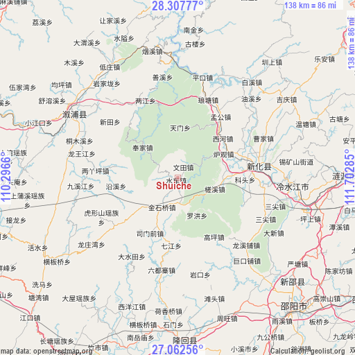
Shuiche GPS coordinates[2]
27° 41' 12.984" North, 110° 59' 58.992" East
| Map corner | latitude | longitude |
|---|---|---|
| Upper-left | 28.30777°, | 110.2966° |
| Center: | 27.68694°, | 110.99972° |
| Lower-right: | 27.06256°, | 111.70285° |
| Map W x H: | 138.5×138.5 km | = 86.1×86.1mi |
| max Lat: | 53.31946° ⇑75.8% North |
| Shuiche: | 27.68694° |
| min Lat: | ⇓24.2% South 18.22056° |
| min Long | Shuiche | max Long |
| 75.07348° | 110.99972° | 134.28917° |
| W 33%⇐ | ⇒67% E |
Elevation
Elevation of Shuiche is 447 m = 1467 ft, and this is 37.8 m = 124 ft below average elevation for this country.
| Max E: |
5622 m = 18445 ft | 28.3% |
| Avg. | 484.8 m = 1591 ft | |
| Shuiche | 447 m = 1467 ft | |
Min E: |
-3 m = -10 ft | 71.7% |
See also: China elevation on elevation.city.
Geographical zone
Shuiche is located in North temperate zone (between Tropic of Cancer and the Arctic Circle). Distance of this Northern Tropic circle is 472.6 km =293.7 mi to South.| Distance of | km | miles | from Shuiche |
|---|---|---|---|
| North Pole | 6928.6 | 4305.2 | to North |
| Arctic Circle | 4322.7 | 2686 | to North |
| Tropic Cancer | 472.6 | 293.7 | to South |
| Equator | 3078.5 | 1912.9 | to South |


Nearby cities:
15 places around Shuiche: (largest is in red/bold)
• Gangdong
30.3 km =18.8 mi,  327°
327°
• Gaoping
27 km =16.8 mi,  148°
148°
• Huangjinjing
15.5 km =9.6 mi,  223°
223°
• Huxingshan
33.6 km =20.9 mi,  242°
242°
• Jinshiqiao
13 km =8.1 mi,  208°
208°
• Liangjiang
32.5 km =20.2 mi,  336°
336°
• Liangyaping
32.6 km =20.3 mi,  276°
276°
• Luohong
16.4 km =10.2 mi, 152°
• Qijiang
26.5 km =16.5 mi,  185°
185°
• Shangmei
29.8 km =18.5 mi,  77°
77°
• Simenqian
24.9 km =15.5 mi, 206°
• Xiaoshajiang
30.9 km =19.2 mi,  233°
233°
• Xixi
4.6 km =2.9 mi, 279°
• Yanggu’ao
22.9 km =14.2 mi, 193°
• Yatian
10.7 km =6.6 mi,  172°
172°
Sources, notices
• [Note1] Compared only with cities in China existing in our database
• [Src1] Map data: © OpenStreetMap contributors (CC-BY-SA)
• [Src2] Other city data from geonames.org with taken over terms of usage.
• [Src3] Geographical zone / Annual Mean Temperature by Robert A. Rohde @ Wikipedia
