Shangpai geodata
Shangpai (Anhui) is a seat of a third-order administrative division; located in China in Asia/Shanghai (GMT+8) time zone. In our database, there are 1268 cities with bigger population. Compared to other cities in China, 59.8% of cities are located further ↓South; 66.8% of cities are located further ←West and 88.7% of cities have higher elevation than Shangpai. Note1


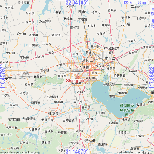
Shangpai GPS coordinates[2]
31° 44' 44.34" North, 117° 9' 39.924" East
| Map corner | latitude | longitude |
|---|---|---|
| Upper-left | 32.34165°, | 116.45797° |
| Center: | 31.74565°, | 117.16109° |
| Lower-right: | 31.14579°, | 117.86422° |
| Map W x H: | 133×133 km | = 82.6×82.6mi |
| max Lat: | 53.31946° ⇑40.2% North |
| Shangpai: | 31.74565° |
| min Lat: | ⇓59.8% South 18.22056° |
| min Long | Shangpai | max Long |
| 75.07348° | 117.16109° | 134.28917° |
| W 66.8%⇐ | ⇒33.2% E |
Elevation
Elevation of Shangpai is 11 m = 36 ft, and this is 473.8 m = 1554 ft below average elevation for this country.
| Max E: |
5622 m = 18445 ft | 88.7% |
| Avg. | 484.8 m = 1591 ft | |
| Shangpai | 11 m = 36 ft | |
Min E: |
-3 m = -10 ft | 11.3% |
See also: China elevation on elevation.city.
Geographical zone
Shangpai is located in North temperate zone (between Tropic of Cancer and the Arctic Circle). Distance of this Northern Tropic circle is 923.9 km =574.1 mi to South.| Distance of | km | miles | from Shangpai |
|---|---|---|---|
| North Pole | 6477.3 | 4024.8 | to North |
| Arctic Circle | 3871.4 | 2405.6 | to North |
| Tropic Cancer | 923.9 | 574.1 | to South |
| Equator | 3529.8 | 2193.3 | to South |


Nearby cities:
15 places around Shangpai: (largest is in red/bold)
• Chaohu
68.7 km =42.7 mi,  103°
103°
• Chengjia
89 km =55.3 mi,  78°
78°
• Dianbu
31.4 km =19.5 mi,  63°
63°
• Hefei
17.3 km =10.7 mi,  40°
40°
• Hengtanggang
66.6 km =41.4 mi,  250°
250°
• Huanfeng
88.9 km =55.2 mi,  92°
92°
• Lucheng
58.1 km =36.1 mi,  168°
168°
• Lu’an
60.9 km =37.8 mi,  268°
268°
• Quedian
57.9 km =36 mi,  211°
211°
• Shucheng Chengguanzhen
36.1 km =22.4 mi, 213°
• Tongcheng
80.5 km =50 mi,  192°
192°
• Wucheng
87 km =54.1 mi,  126°
126°
• Xianzong
80.3 km =49.9 mi, 85°
• Xiexiang
84 km =52.2 mi, 83°
• Yaokou
86.2 km =53.6 mi,  335°
335°
Sources, notices
• [Note1] Compared only with cities in China existing in our database
• [Src1] Map data: © OpenStreetMap contributors (CC-BY-SA)
• [Src2] Other city data from geonames.org with taken over terms of usage.
• [Src3] Geographical zone / Annual Mean Temperature by Robert A. Rohde @ Wikipedia
