Lincheng geodata
Lincheng (Hunan) is a seat of a third-order administrative division; located in China in Asia/Shanghai (GMT+8) time zone. In our database, there are 1268 cities with bigger population. Compared to other cities in China, 79.1% of cities are located further ↑North; 73% of cities are located further →East and 60.3% of cities have lower elevation than Lincheng. Note1


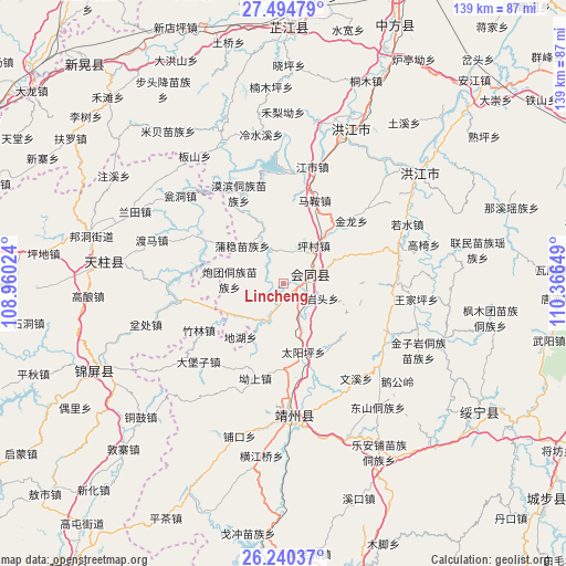
Lincheng GPS coordinates[2]
26° 52' 9.552" North, 109° 39' 48.096" East
| Map corner | latitude | longitude |
|---|---|---|
| Upper-left | 27.49479°, | 108.96024° |
| Center: | 26.86932°, | 109.66336° |
| Lower-right: | 26.24037°, | 110.36649° |
| Map W x H: | 139.5×139.5 km | = 86.7×86.7mi |
| max Lat: | 53.31946° ⇑79.1% North |
| Lincheng: | 26.86932° |
| min Lat: | ⇓20.9% South 18.22056° |
| min Long | Lincheng | max Long |
| 75.07348° | 109.66336° | 134.28917° |
| W 27%⇐ | ⇒73% E |
Elevation
Elevation of Lincheng is 263 m = 863 ft, and this is 221.8 m = 728 ft below average elevation for this country.
| Max E: |
5622 m = 18445 ft | 39.7% |
| Avg. | 484.8 m = 1591 ft | |
| Lincheng | 263 m = 863 ft | |
Min E: |
-3 m = -10 ft | 60.3% |
See also: China elevation on elevation.city.
Geographical zone
Lincheng is located in North temperate zone (between Tropic of Cancer and the Arctic Circle). Distance of this Northern Tropic circle is 381.7 km =237.2 mi to South.| Distance of | km | miles | from Lincheng |
|---|---|---|---|
| North Pole | 7019.5 | 4361.7 | to North |
| Arctic Circle | 4413.6 | 2742.5 | to North |
| Tropic Cancer | 381.7 | 237.2 | to South |
| Equator | 2987.6 | 1856.4 | to South |


Nearby cities:
15 places around Lincheng: (largest is in red/bold)
• Baishi
24.7 km =15.3 mi,  297°
297°
• Dabaozi
28.8 km =17.9 mi,  227°
227°
• Dongshan Dongzuxiang
38.3 km =23.8 mi,  142°
142°
• Gaoyi
36.3 km =22.6 mi,  73°
73°
• Guangping
10 km =6.2 mi,  203°
203°
• Jiangdong
24.3 km =15.1 mi, 302°
• Jiangshi
29.2 km =18.1 mi,  14°
14°
• Lianshan
8.2 km =5.1 mi,  152°
152°
• Mobin Tongzumiaozuxiang
24.5 km =15.2 mi,  333°
333°
• Puzi
17.2 km =10.7 mi,  40°
40°
• Qiancheng
36.5 km =22.7 mi,  16°
16°
• Quyang
32.8 km =20.4 mi,  184°
184°
• Ruoshui
33.5 km =20.8 mi,  63°
63°
• Tuokou
28.7 km =17.8 mi,  352°
352°
• Xinglong
22.1 km =13.7 mi,  280°
280°
Sources, notices
• [Note1] Compared only with cities in China existing in our database
• [Src1] Map data: © OpenStreetMap contributors (CC-BY-SA)
• [Src2] Other city data from geonames.org with taken over terms of usage.
• [Src3] Geographical zone / Annual Mean Temperature by Robert A. Rohde @ Wikipedia
