Lecheng geodata
Lecheng (Guangdong) is a seat of a third-order administrative division; located in China in Asia/Shanghai (GMT+8) time zone. With population of 124,268 people, there are 354 cities with bigger population in this country. Compared to other cities in China, 85.8% of cities are located further ↑North; 55.3% of cities are located further →East and 58.4% of cities have higher elevation than Lecheng. Note1


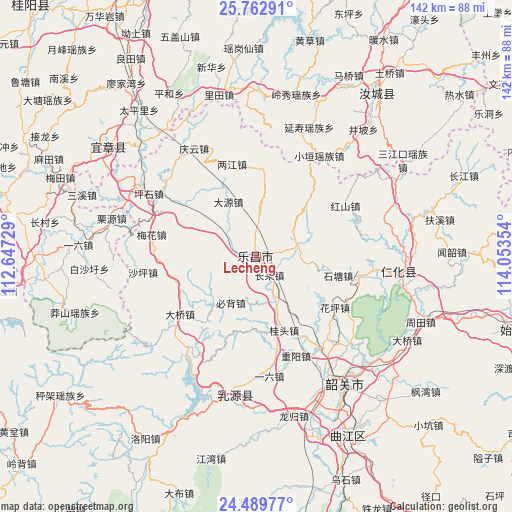
Lecheng GPS coordinates[2]
25° 7' 40.8" North, 113° 21' 1.476" East
| Map corner | latitude | longitude |
|---|---|---|
| Upper-left | 25.76291°, | 112.64729° |
| Center: | 25.128°, | 113.35041° |
| Lower-right: | 24.48977°, | 114.05354° |
| Map W x H: | 141.6×141.6 km | = 88×88mi |
| max Lat: | 53.31946° ⇑85.8% North |
| Lecheng: | 25.128° |
| min Lat: | ⇓14.2% South 18.22056° |
| min Long | Lecheng | max Long |
| 75.07348° | 113.35041° | 134.28917° |
| W 44.7%⇐ | ⇒55.3% E |
Elevation
Elevation of Lecheng is 109 m = 358 ft, and this is 375.8 m = 1233 ft below average elevation for this country.
| Max E: |
5622 m = 18445 ft | 58.4% |
| Avg. | 484.8 m = 1591 ft | |
| Lecheng | 109 m = 358 ft | |
Min E: |
-3 m = -10 ft | 41.6% |
See also: Lecheng elevation on elevation.city.
Geographical zone
Lecheng is located in North temperate zone (between Tropic of Cancer and the Arctic Circle). Distance of this Northern Tropic circle is 188.1 km =116.9 mi to South.| Distance of | km | miles | from Lecheng |
|---|---|---|---|
| North Pole | 7213.1 | 4482 | to North |
| Arctic Circle | 4607.2 | 2862.8 | to North |
| Tropic Cancer | 188.1 | 116.9 | to South |
| Equator | 2794 | 1736.1 | to South |


Nearby cities:
15 places around Lecheng: (largest is in red/bold)
• Beixiang
7.4 km =4.6 mi,  7°
7°
• Bibei
15 km =9.3 mi,  208°
208°
• Changlai
6.4 km =4 mi,  137°
137°
• Daqiao
27.1 km =16.8 mi,  233°
233°
• Dayuan
17.5 km =10.9 mi,  338°
338°
• Guitou
22.7 km =14.1 mi,  162°
162°
• Hongshan
28.2 km =17.5 mi,  59°
59°
• Huaping
25.8 km =16 mi,  119°
119°
• Jiufeng
24.7 km =15.3 mi,  3°
3°
• Langtian
10.8 km =6.7 mi,  73°
73°
• Liangjiang
27.6 km =17.1 mi,  349°
349°
• Shitang
22.6 km =14 mi,  105°
105°
• Wushan
18.9 km =11.7 mi,  43°
43°
• Youxi
19 km =11.8 mi,  177°
177°
• Yunyan
24.9 km =15.5 mi,  270°
270°
Sources, notices
• [Note1] Compared only with cities in China existing in our database
• [Src1] Map data: © OpenStreetMap contributors (CC-BY-SA)
• [Src2] Other city data from geonames.org with taken over terms of usage.
• [Src3] Geographical zone / Annual Mean Temperature by Robert A. Rohde @ Wikipedia
