Liangjiang geodata
Liangjiang (Guangdong) is a seat of a fourth-order administrative division; located in China in Asia/Shanghai (GMT+8) time zone. In our database, there are 1268 cities with bigger population. Compared to other cities in China, 84.8% of cities are located further ↑North; 55.6% of cities are located further →East and 76.9% of cities have lower elevation than Liangjiang. Note1


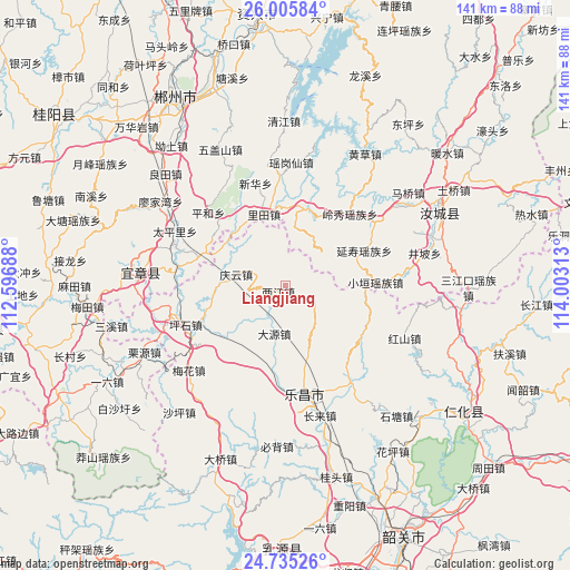
Liangjiang GPS coordinates[2]
25° 22' 19.992" North, 113° 18' 0" East
| Map corner | latitude | longitude |
|---|---|---|
| Upper-left | 26.00584°, | 112.59688° |
| Center: | 25.37222°, | 113.3° |
| Lower-right: | 24.73526°, | 114.00313° |
| Map W x H: | 141.3×141.3 km | = 87.8×87.8mi |
| max Lat: | 53.31946° ⇑84.8% North |
| Liangjiang: | 25.37222° |
| min Lat: | ⇓15.2% South 18.22056° |
| min Long | Liangjiang | max Long |
| 75.07348° | 113.3° | 134.28917° |
| W 44.4%⇐ | ⇒55.6% E |
Elevation
Elevation of Liangjiang is 573 m = 1880 ft, and this is 88.2 m = 289 ft above average elevation for this country.
| Max E: |
5622 m = 18445 ft | 23.1% |
| Liangjiang | 573 m 1880 ft | |
| Avg. | 484.8 m = 1591 ft | |
Min E: |
-3 m = -10 ft | 76.9% |
See also: China elevation on elevation.city.
Geographical zone
Liangjiang is located in North temperate zone (between Tropic of Cancer and the Arctic Circle). Distance of this Northern Tropic circle is 215.2 km =133.7 mi to South.| Distance of | km | miles | from Liangjiang |
|---|---|---|---|
| North Pole | 7185.9 | 4465.1 | to North |
| Arctic Circle | 4580 | 2845.9 | to North |
| Tropic Cancer | 215.2 | 133.7 | to South |
| Equator | 2821.1 | 1752.9 | to South |


Nearby cities:
15 places around Liangjiang: (largest is in red/bold)
• Baishi
10 km =6.2 mi,  331°
331°
• Beixiang
20.7 km =12.9 mi,  163°
163°
• Changlai
33.2 km =20.6 mi, 163°
• Dayuan
11 km =6.8 mi,  187°
187°
• Hongshan
32.2 km =20 mi,  113°
113°
• Huangpu
14.3 km =8.9 mi,  297°
297°
• Jiufeng
7.1 km =4.4 mi, 110°
• Langtian
28.6 km =17.8 mi,  147°
147°
• Lecheng
27.6 km =17.1 mi,  169°
169°
• Meihua
31.5 km =19.6 mi,  226°
226°
• Pingshi
26 km =16.2 mi,  248°
248°
• Qingyun
12.6 km =7.8 mi,  279°
279°
• Wushan
22.6 km =14 mi,  126°
126°
• Yizhang Chengguanzhen
32.3 km =20.1 mi,  272°
272°
• Yunyan
33.3 km =20.7 mi,  216°
216°
Sources, notices
• [Note1] Compared only with cities in China existing in our database
• [Src1] Map data: © OpenStreetMap contributors (CC-BY-SA)
• [Src2] Other city data from geonames.org with taken over terms of usage.
• [Src3] Geographical zone / Annual Mean Temperature by Robert A. Rohde @ Wikipedia
