Jietou geodata
Jietou (Zhejiang) is a seat of a fourth-order administrative division; located in China in Asia/Shanghai (GMT+8) time zone. In our database, there are 1268 cities with bigger population. Compared to other cities in China, 64.1% of cities are located further ↑North; 86.8% of cities are located further ←West and 60.3% of cities have higher elevation than Jietou. Note1


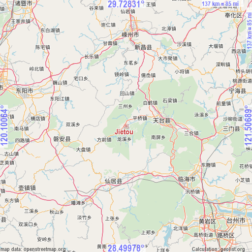
Jietou GPS coordinates[2]
29° 6' 57.168" North, 120° 48' 13.536" East
| Map corner | latitude | longitude |
|---|---|---|
| Upper-left | 29.72831°, | 120.10064° |
| Center: | 29.11588°, | 120.80376° |
| Lower-right: | 28.49978°, | 121.50689° |
| Map W x H: | 136.6×136.6 km | = 84.9×84.9mi |
| max Lat: | 53.31946° ⇑64.1% North |
| Jietou: | 29.11588° |
| min Lat: | ⇓35.9% South 18.22056° |
| min Long | Jietou | max Long |
| 75.07348° | 120.80376° | 134.28917° |
| W 86.8%⇐ | ⇒13.2% E |
Elevation
Elevation of Jietou is 97 m = 318 ft, and this is 387.8 m = 1272 ft below average elevation for this country.
| Max E: |
5622 m = 18445 ft | 60.3% |
| Avg. | 484.8 m = 1591 ft | |
| Jietou | 97 m = 318 ft | |
Min E: |
-3 m = -10 ft | 39.7% |
See also: China elevation on elevation.city.
Geographical zone
Jietou is located in North temperate zone (between Tropic of Cancer and the Arctic Circle). Distance of this Northern Tropic circle is 631.5 km =392.4 mi to South.| Distance of | km | miles | from Jietou |
|---|---|---|---|
| North Pole | 6769.7 | 4206.5 | to North |
| Arctic Circle | 4163.8 | 2587.3 | to North |
| Tropic Cancer | 631.5 | 392.4 | to South |
| Equator | 3237.4 | 2011.6 | to South |


Nearby cities:
15 places around Jietou: (largest is in red/bold)
• Anzhou
27.9 km =17.3 mi,  197°
197°
• Baihedian
18.4 km =11.4 mi,  43°
43°
• Baishuiyang
25.9 km =16.1 mi,  160°
160°
• Dianqian
24.9 km =15.5 mi,  354°
354°
• Diji
26.3 km =16.3 mi,  320°
320°
• Fangqian
14 km =8.7 mi,  239°
239°
• Guangdu
19.1 km =11.9 mi, 197°
• Jianshan
14.8 km =9.2 mi, 324°
• Pingqiao
8.5 km =5.3 mi,  61°
61°
• Shanghu
15 km =9.3 mi,  283°
283°
• Shiliang
27.1 km =16.8 mi, 59°
• Tiantai Chengguanzhen
22.1 km =13.7 mi,  84°
84°
• Weixin
27.5 km =17.1 mi,  222°
222°
• Xinshichang
18.2 km =11.3 mi,  0°
0°
• Xuetian
26.6 km =16.5 mi, 242°
Sources, notices
• [Note1] Compared only with cities in China existing in our database
• [Src1] Map data: © OpenStreetMap contributors (CC-BY-SA)
• [Src2] Other city data from geonames.org with taken over terms of usage.
• [Src3] Geographical zone / Annual Mean Temperature by Robert A. Rohde @ Wikipedia
