Huanglong geodata
Huanglong (Hunan) is a populated place; located in China in Asia/Shanghai (GMT+8) time zone. With population of 1,920 people, there are 1042 cities with bigger population in this country. Compared to other cities in China, 80.3% of cities are located further ↑North; 67.3% of cities are located further →East and 64.3% of cities have lower elevation than Huanglong. Note1


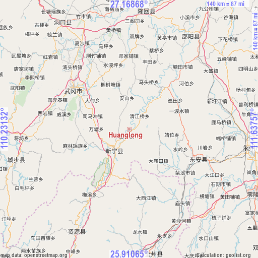
Huanglong GPS coordinates[2]
26° 32' 29.004" North, 110° 56' 3.984" East
| Map corner | latitude | longitude |
|---|---|---|
| Upper-left | 27.16868°, | 110.23132° |
| Center: | 26.54139°, | 110.93444° |
| Lower-right: | 25.91065°, | 111.63757° |
| Map W x H: | 139.9×139.9 km | = 86.9×86.9mi |
| max Lat: | 53.31946° ⇑80.3% North |
| Huanglong: | 26.54139° |
| min Lat: | ⇓19.7% South 18.22056° |
| min Long | Huanglong | max Long |
| 75.07348° | 110.93444° | 134.28917° |
| W 32.7%⇐ | ⇒67.3% E |
Elevation
Elevation of Huanglong is 315 m = 1033 ft, and this is 169.8 m = 557 ft below average elevation for this country.
| Max E: |
5622 m = 18445 ft | 35.7% |
| Avg. | 484.8 m = 1591 ft | |
| Huanglong | 315 m = 1033 ft | |
Min E: |
-3 m = -10 ft | 64.3% |
See also: China elevation on elevation.city.
Geographical zone
Huanglong is located in North temperate zone (between Tropic of Cancer and the Arctic Circle). Distance of this Northern Tropic circle is 345.2 km =214.5 mi to South.| Distance of | km | miles | from Huanglong |
|---|---|---|---|
| North Pole | 7055.9 | 4384.3 | to North |
| Arctic Circle | 4450 | 2765.1 | to North |
| Tropic Cancer | 345.2 | 214.5 | to South |
| Equator | 2951.1 | 1833.7 | to South |


Nearby cities:
15 places around Huanglong: (largest is in red/bold)
• Baisha
2.2 km =1.4 mi,  188°
188°
• Baiyashi
36.8 km =22.9 mi,  117°
117°
• Dengjiapu
40.4 km =25.1 mi,  357°
357°
• Dengyuantai
42.3 km =26.3 mi,  292°
292°
• Gaoqiao
10.8 km =6.7 mi,  341°
341°
• Huangjin Yaozuxiang
40.1 km =24.9 mi,  250°
250°
• Jinshi
19.2 km =11.9 mi,  224°
224°
• Langshan
21.5 km =13.4 mi,  213°
213°
• Malin
30.7 km =19.1 mi, 251°
• Maoping
52 km =32.3 mi,  267°
267°
• Qingjiangqiao
8.6 km =5.3 mi,  35°
35°
• Wantang
17.7 km =11 mi, 269°
• Wantouqiao
45.7 km =28.4 mi,  316°
316°
• Xiyan
46.6 km =29 mi,  280°
280°
• Yaoshi
31.2 km =19.4 mi, 207°
Sources, notices
• [Note1] Compared only with cities in China existing in our database
• [Src1] Map data: © OpenStreetMap contributors (CC-BY-SA)
• [Src2] Other city data from geonames.org with taken over terms of usage.
• [Src3] Geographical zone / Annual Mean Temperature by Robert A. Rohde @ Wikipedia
