Wantouqiao geodata
Wantouqiao (Hunan) is a populated place; located in China in Asia/Shanghai (GMT+8) time zone. With population of 1,620 people, there are 1072 cities with bigger population in this country. Compared to other cities in China, 79.2% of cities are located further ↑North; 68.6% of cities are located further →East and 65.2% of cities have lower elevation than Wantouqiao. Note1


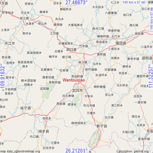
Wantouqiao GPS coordinates[2]
26° 50' 27.996" North, 110° 37' 9.984" East
| Map corner | latitude | longitude |
|---|---|---|
| Upper-left | 27.46673°, | 109.91632° |
| Center: | 26.84111°, | 110.61944° |
| Lower-right: | 26.21201°, | 111.32257° |
| Map W x H: | 139.5×139.5 km | = 86.7×86.7mi |
| max Lat: | 53.31946° ⇑79.2% North |
| Wantouqiao: | 26.84111° |
| min Lat: | ⇓20.8% South 18.22056° |
| min Long | Wantouqiao | max Long |
| 75.07348° | 110.61944° | 134.28917° |
| W 31.4%⇐ | ⇒68.6% E |
Elevation
Elevation of Wantouqiao is 331 m = 1086 ft, and this is 153.8 m = 505 ft below average elevation for this country.
| Max E: |
5622 m = 18445 ft | 34.8% |
| Avg. | 484.8 m = 1591 ft | |
| Wantouqiao | 331 m = 1086 ft | |
Min E: |
-3 m = -10 ft | 65.2% |
See also: China elevation on elevation.city.
Geographical zone
Wantouqiao is located in North temperate zone (between Tropic of Cancer and the Arctic Circle). Distance of this Northern Tropic circle is 378.5 km =235.2 mi to South.| Distance of | km | miles | from Wantouqiao |
|---|---|---|---|
| North Pole | 7022.6 | 4363.6 | to North |
| Arctic Circle | 4416.7 | 2744.4 | to North |
| Tropic Cancer | 378.5 | 235.2 | to South |
| Equator | 2984.5 | 1854.5 | to South |


Nearby cities:
15 places around Wantouqiao: (largest is in red/bold)
• Dengjiapu
30.6 km =19 mi,  76°
76°
• Dengyuantai
18.7 km =11.6 mi,  204°
204°
• Dongkou
24.9 km =15.5 mi,  340°
340°
• Gaoqiao
36.2 km =22.5 mi,  129°
129°
• Huangqiao
29.7 km =18.5 mi,  47°
47°
• Huangtukuang
22.6 km =14 mi,  291°
291°
• Huayuan
11.6 km =7.2 mi,  314°
314°
• Lixiqiao
20.6 km =12.8 mi,  255°
255°
• Ma’an
18.2 km =11.3 mi,  33°
33°
• Shijiang
31.8 km =19.8 mi, 32°
• Tangjiafang
25.3 km =15.7 mi,  269°
269°
• Wantang
36.1 km =22.4 mi,  157°
157°
• Wuyang
30.9 km =19.2 mi,  249°
249°
• Xiyan
28.9 km =18 mi,  210°
210°
• Zhushi
28 km =17.4 mi,  11°
11°
Sources, notices
• [Note1] Compared only with cities in China existing in our database
• [Src1] Map data: © OpenStreetMap contributors (CC-BY-SA)
• [Src2] Other city data from geonames.org with taken over terms of usage.
• [Src3] Geographical zone / Annual Mean Temperature by Robert A. Rohde @ Wikipedia
