Dabachang geodata
Dabachang (Guizhou) is a populated place; located in China in Asia/Shanghai (GMT+8) time zone. With population of 1,086 people, there are 1160 cities with bigger population in this country. Compared to other cities in China, 75.5% of cities are located further ↑North; 79.2% of cities are located further →East and 76.8% of cities have lower elevation than Dabachang. Note1


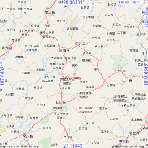
Dabachang GPS coordinates[2]
27° 44' 33" North, 108° 20' 35.988" East
| Map corner | latitude | longitude |
|---|---|---|
| Upper-left | 28.36301°, | 107.64021° |
| Center: | 27.7425°, | 108.34333° |
| Lower-right: | 27.11843°, | 109.04646° |
| Map W x H: | 138.4×138.4 km | = 86×86mi |
| max Lat: | 53.31946° ⇑75.5% North |
| Dabachang: | 27.7425° |
| min Lat: | ⇓24.5% South 18.22056° |
| min Long | Dabachang | max Long |
| 75.07348° | 108.34333° | 134.28917° |
| W 20.8%⇐ | ⇒79.2% E |
Elevation
Elevation of Dabachang is 571 m = 1873 ft, and this is 86.2 m = 283 ft above average elevation for this country.
| Max E: |
5622 m = 18445 ft | 23.2% |
| Dabachang | 571 m 1873 ft | |
| Avg. | 484.8 m = 1591 ft | |
Min E: |
-3 m = -10 ft | 76.8% |
See also: China elevation on elevation.city.
Geographical zone
Dabachang is located in North temperate zone (between Tropic of Cancer and the Arctic Circle). Distance of this Northern Tropic circle is 478.8 km =297.5 mi to South.| Distance of | km | miles | from Dabachang |
|---|---|---|---|
| North Pole | 6922.4 | 4301.4 | to North |
| Arctic Circle | 4316.5 | 2682.1 | to North |
| Tropic Cancer | 478.8 | 297.5 | to South |
| Equator | 3084.7 | 1916.7 | to South |


Nearby cities:
15 places around Dabachang: (largest is in red/bold)
• Banxi
38.7 km =24 mi,  18°
18°
• Chaodi
41.4 km =25.7 mi,  344°
344°
• Donghua
45.1 km =28 mi,  326°
326°
• Eling
29.2 km =18.1 mi,  11°
11°
• Fengxiangxi
42.9 km =26.7 mi,  357°
357°
• Heshui
39.8 km =24.7 mi,  30°
30°
• Hexing
48.5 km =30.1 mi, 325°
• Kuanping
44.9 km =27.9 mi,  314°
314°
• Langxi
32.7 km =20.3 mi, 23°
• Minhe
48.1 km =29.9 mi,  118°
118°
• Shanshu
41.6 km =25.8 mi, 9°
• Shiqian
27 km =16.8 mi,  204°
204°
• Xinye
47.7 km =29.6 mi,  46°
46°
• Xujiaba
27.6 km =17.1 mi,  304°
304°
• Zhongba
31.5 km =19.6 mi, 358°
Sources, notices
• [Note1] Compared only with cities in China existing in our database
• [Src1] Map data: © OpenStreetMap contributors (CC-BY-SA)
• [Src2] Other city data from geonames.org with taken over terms of usage.
• [Src3] Geographical zone / Annual Mean Temperature by Robert A. Rohde @ Wikipedia
