Chikan geodata
Chikan (Guangdong) is a seat of a third-order administrative division; located in China in Asia/Urumqi (GMT+6) time zone. In our database, there are 1268 cities with bigger population. Compared to other cities in China, 98.3% of cities are located further ↑North; 69.7% of cities are located further →East and 84.9% of cities have higher elevation than Chikan. Note1


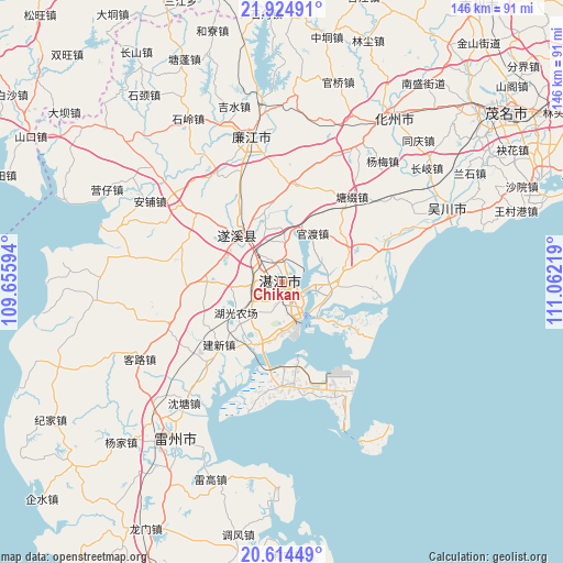
Chikan GPS coordinates[2]
21° 16' 16.176" North, 110° 21' 32.616" East
| Map corner | latitude | longitude |
|---|---|---|
| Upper-left | 21.92491°, | 109.65594° |
| Center: | 21.27116°, | 110.35906° |
| Lower-right: | 20.61449°, | 111.06219° |
| Map W x H: | 145.7×145.7 km | = 90.5×90.5mi |
| max Lat: | 53.31946° ⇑98.3% North |
| Chikan: | 21.27116° |
| min Lat: | ⇓1.7% South 18.22056° |
| min Long | Chikan | max Long |
| 75.07348° | 110.35906° | 134.28917° |
| W 30.3%⇐ | ⇒69.7% E |
Elevation
Elevation of Chikan is 16 m = 52 ft, and this is 468.8 m = 1538 ft below average elevation for this country.
| Max E: |
5622 m = 18445 ft | 84.9% |
| Avg. | 484.8 m = 1591 ft | |
| Chikan | 16 m = 52 ft | |
Min E: |
-3 m = -10 ft | 15.1% |
See also: China elevation on elevation.city.
Geographical zone
Chikan is located in North Torrid zone (between Equator and Tropic of Cancer). Distance of this Northern Tropic circle is 240.8 km =149.6 mi to North.| Distance of | km | miles | from Chikan |
|---|---|---|---|
| North Pole | 7641.9 | 4748.5 | to North |
| Arctic Circle | 5036 | 3129.2 | to North |
| Tropic Cancer | 240.8 | 149.6 | to North |
| Equator | 2365.1 | 1469.6 | to South |


Nearby cities:
15 places around Chikan: (largest is in red/bold)
• Gongnong
9.5 km =5.9 mi,  156°
156°
• Guandu
15 km =9.3 mi,  32°
32°
• Haitou
8.3 km =5.2 mi, 159°
• Huguang
17.7 km =11 mi,  204°
204°
• Jianxin
23.7 km =14.7 mi,  223°
223°
• Lingbei
20.2 km =12.6 mi,  267°
267°
• Longtou
19.3 km =12 mi,  59°
59°
• Mazhang
3.9 km =2.4 mi,  277°
277°
• Nandiao
9.3 km =5.8 mi,  103°
103°
• Nanqiao
0.4 km =0.2 mi,  179°
179°
• Nansan
23.9 km =14.9 mi,  123°
123°
• Potou
7.9 km =4.9 mi,  92°
92°
• Suicheng
16.5 km =10.3 mi,  316°
316°
• Zhanjiang
2 km =1.2 mi,  304°
304°
• Zhongshan
22.7 km =14.1 mi,  76°
76°
Sources, notices
• [Note1] Compared only with cities in China existing in our database
• [Src1] Map data: © OpenStreetMap contributors (CC-BY-SA)
• [Src2] Other city data from geonames.org with taken over terms of usage.
• [Src3] Geographical zone / Annual Mean Temperature by Robert A. Rohde @ Wikipedia
