Datou geodata
Datou (Zhejiang) is a seat of a fourth-order administrative division; located in China in Asia/Shanghai (GMT+8) time zone. In our database, there are 1268 cities with bigger population. Compared to other cities in China, 63.7% of cities are located further ↑North; 74.7% of cities are located further ←West and 80% of cities have lower elevation than Datou. Note1


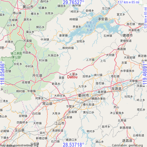
Datou GPS coordinates[2]
29° 9' 11.016" North, 118° 45' 28.008" East
| Map corner | latitude | longitude |
|---|---|---|
| Upper-left | 29.76527°, | 118.05466° |
| Center: | 29.15306°, | 118.75778° |
| Lower-right: | 28.53718°, | 119.46091° |
| Map W x H: | 136.6×136.6 km | = 84.9×84.9mi |
| max Lat: | 53.31946° ⇑63.7% North |
| Datou: | 29.15306° |
| min Lat: | ⇓36.3% South 18.22056° |
| min Long | Datou | max Long |
| 75.07348° | 118.75778° | 134.28917° |
| W 74.7%⇐ | ⇒25.3% E |
Elevation
Elevation of Datou is 695 m = 2280 ft, and this is 210.2 m = 690 ft above average elevation for this country.
| Max E: |
5622 m = 18445 ft | 20% |
| Datou | 695 m 2280 ft | |
| Avg. | 484.8 m = 1591 ft | |
Min E: |
-3 m = -10 ft | 80% |
See also: China elevation on elevation.city.
Geographical zone
Datou is located in North temperate zone (between Tropic of Cancer and the Arctic Circle). Distance of this Northern Tropic circle is 635.6 km =394.9 mi to South.| Distance of | km | miles | from Datou |
|---|---|---|---|
| North Pole | 6765.5 | 4203.9 | to North |
| Arctic Circle | 4159.7 | 2584.7 | to North |
| Tropic Cancer | 635.6 | 394.9 | to South |
| Equator | 3241.5 | 2014.2 | to South |


Nearby cities:
15 places around Datou: (largest is in red/bold)
• Baima
10.8 km =6.7 mi,  337°
337°
• Baitashan
18 km =11.2 mi,  146°
146°
• Dongshandi
11.1 km =6.9 mi,  253°
253°
• Duze
18.5 km =11.5 mi,  99°
99°
• Fangcun
17.8 km =11.1 mi,  232°
232°
• Furong
12.2 km =7.6 mi, 253°
• Huipinggeng
14.3 km =8.9 mi,  41°
41°
• Jiuhua
14.4 km =8.9 mi,  144°
144°
• Shangfang
20.1 km =12.5 mi,  49°
49°
• Shangyuan
15.3 km =9.5 mi,  220°
220°
• Shiliang
15 km =9.3 mi,  170°
170°
• Shuangqiao
12.4 km =7.7 mi, 99°
• Xiacaoqiao
8.6 km =5.3 mi,  66°
66°
• Xinchang
18.4 km =11.4 mi,  241°
241°
• Zhoujia
16.9 km =10.5 mi,  122°
122°
Sources, notices
• [Note1] Compared only with cities in China existing in our database
• [Src1] Map data: © OpenStreetMap contributors (CC-BY-SA)
• [Src2] Other city data from geonames.org with taken over terms of usage.
• [Src3] Geographical zone / Annual Mean Temperature by Robert A. Rohde @ Wikipedia
